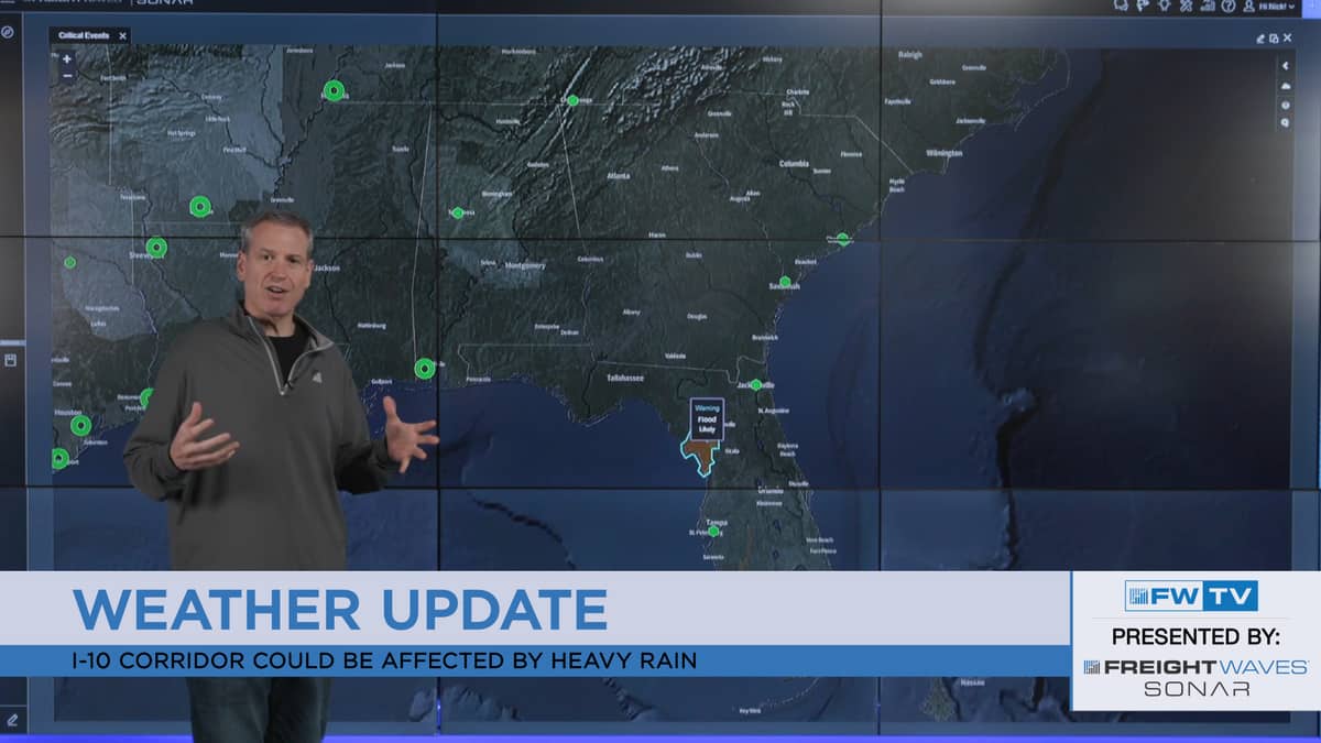
I hope all of you had a great weekend! The good news for Monday – not many severe thunderstorms are in the forecast. The bad news – thunderstorms don’t have to be severe to cause problems for drivers or delay loads. This will be the case again across parts of Florida. Meanwhile, other areas will be dealing with dangerous and potentially life-threatening heat.
Unsettled South
A stationary front will help trigger scattered rain and thunderstorms from the Great Plains to the East Coast. Most storms will be garden-variety, producing fairly short-lived showers. But a few strong/severe storms could pop up in Bismarck, Fargo, Sioux Falls and Des Moines, as well as along I-70 and I-80 near the convergence of Colorado, Nebraska and Kansas. These storms could contain isolated spots of large hail or damaging winds. A rogue tornado is possible, too.
A separate system could dump heavy rain on the Gulf Coast from Louisiana into northern Florida and southern Georgia. Some secondary routes and/or interstate ramps may get flooded along I-10 from New Orleans to Jacksonville, and on I-75 to Macon. Soils across the Sunshine State are saturated from above-normal rainfall during the past few weeks, and flooding is already occurring on some rivers and creeks. Additional rainfall will make the problem worse. Therefore, the National Weather Service has issued a Flood Watch for some portions of the Panhandle, and other areas may be added.
The heat is on
Extremely hot and muggy weather will spread across Texas and Oklahoma this afternoon. The heat index will approach 110° from Oklahoma City to Dallas, Wichita Falls, Lubbock, Little Rock, and points in between. This can put stress on trucks and drivers who have to spend any significant length of time outside their trucks. It helps to know the signs of heat illness before hitting the road. General rule of thumb – if you start to feel woozy after being in the heat for a while, get into an air-conditioned space.
Above-average heat will also hit the Southeast and Northeast today. Temperatures will peak near the upper 90s in western Tennessee, including Memphis, as well as northern Mississippi and portions of Alabama. However, it will feel like 105° to 110°! Heat index readings near 100° will be tough on some drivers along the I-95 corridor from Philadelphia to Boston, too.
Have a great day, and be careful out there!


