


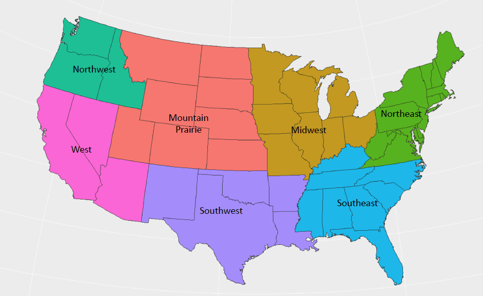
Wildfires continue to burn in California in the West freight region, but some relief is on the way soon. Much needed rain should move through the Golden State from Wednesday through Black Friday, helping douse the fires.
As of Sunday night, October 18, the California Department of Forestry and Fire Prevention (Cal Fire) reports that the Camp Fire in northern California is 65 percent contained. A lot of progress has been made, considering firefighters have had to battle strong winds and rough terrain. But the fire has already done so much damage, killing 77 people and destroying the town of Paradise. Nearly 1,000 people are missing.
While the rain will help speed up containment of the fire and clear the air of smoke that has been smothering parts of the state, the rain will also be heavy at times. This brings with it a downside – possible rockslides and landslides, making the search for the missing more difficult and dangerous.
“It’s a disheartening situation,” Butte County Sheriff Kory Honea told CBS news early today. “As much as I wish we could get through this before the rains come, I don’t know if that’s possible.” The Woolsey Fire near Los Angeles is nearly under control at 91 percent containment.
The same storm will produce snowy travel in the Sierra Range of eastern California and western Nevada, also from Wednesday through Black Friday. Truckers will have to chain up and plan for potentially long delays, especially on I-80. Check chain laws here for the latest updates on winter driving.
Poor air quality will be a problem from southern Oregon to eastern Washington state, including Spokane. This isn’t directly due to the California fires, but rather high pressure and virtually no wind creating a temperature inversion. This is when it’s cooler at the ground and warmer aloft, opposite of what usually happens. Pollutants get trapped under the inversion, creating a bit of a haze and making the air unhealthy to breathe. Drivers should take their breaks indoors until rain clears the air later this week.
Snow and patchy ice will slow down drivers in the Midwest and Northeast regions today and Tuesday, winding down by mid-week. This will mostly affect routes through Michigan and much of New England.
Deadheading or hauling light loads on Thanksgiving day could be difficult in the Midwest, Northeast, and Mountain Prairie regions. It’ll become windy across Iowa, Kansas, Minnesota, North Dakota, South Dakota, and the Texas Panhandle, as well as New England. Gusts could be as strong as 30 to 40 mph.