


There’s no rest for the weary in South Dakota as flooding worsened last week. The South Dakota Army National Guard spent three days delivering water to the Pine Ridge Indian Reservation in the southwestern part of the Mount Rushmore State after flooding damaged a major waterline, leaving more than 8,000 people who live on the reservation without access to clean water.
According to a report from the Rapid City Journal, the floods left many families stranded in their homes for some time. Roads and driveways were impassable, and a number of homes were surrounded by water. The Oglala Sioux Tribe’s emergency management team, along with help from volunteers and the Rapid City Fire Department, conducted swift water evacuations. They also delivered food and supplies to the stranded families.
The Salvation Army and American Red Cross sent help, too, and private citizens worked together to help friends and neighbors. Some of them even delivered supplies by boat or horseback. Red Cross officials told NBC News that, as of March 31, they were still at the reservation providing assistance.
More to Come
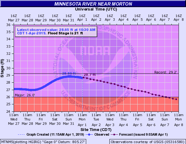
At other points along the Minnesota, the river has shown no mercy, with gauges from New Ulm, Minnesota to Montevideo, Minnesota still at major flood levels.
Farther east, flooding is not letting up along the James River in South Dakota. Six gauges are at major to moderate flood stages from Yankton northward to Redfield, and most are forecast to stay this way all week, based on the latest outlooks from the National Weather Service (NWS) office in Sioux Falls. Snow and rain today (Monday, April 1), followed by a warming trend and more snowmelt throughout the week will keep the odds high for flooding to stick around.
Major to moderate flooding will also remain steady this week along the Big Sioux River, from Akron, Iowa to Watertown, South Dakota. Water levels at most gauges may not fall below flood stage until Friday or Saturday, April 5-6. The Mississippi River has crested in the Saint Paul, Minnesota area. It has risen to nearly 20 feet, which is almost six feet above flood stage.
Water levels have been receding downstream in some areas along the Missouri River, but many locations continue to experience flooding. Nearly half of a popular park in Glasgow, Missouri was flooded last week, and the gauge there is still recording major flood levels today. Several spots from Rulo, Nebraska to Saint Joseph and Miami in Missouri are stuck at moderate flood stages, and also may not fall below flood stage until the weekend.
Impact on Freight

These parts of the country don’t have markets that play significant parts in overall outbound freight volumes, or market shares relative to the rest of the U.S. However, the flooding that began on March 15 across eastern Nebraska (including Omaha) and western Iowa does continue to cause some disruptions, particularly to the transport of grains and cattle that managed to survive. The Union Pacific (NYSE: UNP) and BNSF (NYSE: BRK) railroads have been gradually repairing damaged tracks, but several are still out of service.
Many state and U.S. routes are still closed in the impacted areas, as well as several sections of I-29 from western Iowa to St. Joseph, Missouri; and exit 13 on I-680, just north of Omaha, Nebraska, is still closed in both directions. However, most of I-80 in Nebraska looks fine, with the exception of width restrictions and intermittent lane closures in some areas.
A reminder to carriers: under the terms of the declaration, motor carriers and drivers providing direct assistance for emergencies in the affected states are exempt from Parts 390 through 399 of Title 49 Code of Federal Regulations, including hours of service.
