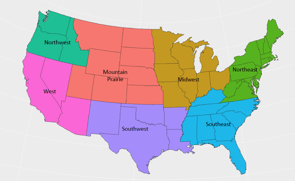
For the next couple days, truckers will have to battle heavy rain and severe storms when hauling freight across the Southwest and Southeast regions. A strong cold front is coming.

The front is the dividing line between a cool, dry air mass north and west of the Rockies, and warmer, more humid air across the southeastern states. The cooler, heavier air pushes the warmer, lighter air upwards (vertical motion). Water vapor (gas) then condenses into water droplets, leading to increasing cloud cover and precipitation.
The reason why some rain will be extremely heavy and some storms could be severe is because, over the South, it’s much colder aloft than at the ground. This will make for a very unstable atmosphere that often produces more violent weather.
Rest of today (Wednesday): Texas will get hit the hardest, with heavy rain possible in areas like Austin and San Antonio that have already been flooded this month. Sections of some state and local roads are still closed, and updates can be found on this web site.
Tonight: A line of strong to severe thunderstorms will move through east Texas (Houston to Corpus Christi), southern Arkansas, as well as across Louisiana and Mississippi. These storms could be particularly intense along several major routes, including I-10, I-20, I-40, I-55, and I-59, and could cause ponding/flooding.
Thursday: The line of storms will head through New Orleans, Mississippi coastal towns, most of Alabama, portions of west and middle Tennessee, and parts of the Florida panhandle, possibly into some areas devastated by Hurricane Michael earlier this month. High water could become an issue again once you hit some local roads.
Thursday night into Friday: Storms will likely fade, but by the time it’s all over about three to five inches of rain could fall with locally higher amounts.
Truckers will need to plan breaks to coincide with periods of torrential downpours that will reduce visibility. Thunderstorms could spin up isolated tornadoes, or produce sudden bursts of strong winds of 60 mph or more which could overturn some trailers. This will make driving difficult, especially for anyone deadheading or hauling light loads.
Watch for posted signs warning of strong winds, and, in case you don’t see a funnel cloud, know the following signs of a possible tornado approaching:
-
Dark sky with a green or yellow tint
-
Approaching cloud of debris
-
Hail without rain

The following bridges might be trouble spots because of crosswinds: Rainbow Bridge over the Neches River in southeast Texas, Lake Pontchartrain Causeway north of New Orleans, Horace Wilkinson Bridge (I-10) over the Mississippi River in Baton Rouge, Greenville Bridge (US-278/US-82) over the Mississippi River along the southeast Arkansas/western Mississippi border, and the Pensacola Bay Bridge (Three-Mile Bridge) in western Florida.


