


A strong storm that FreightWaves began reporting on earlier this week continues to spin over the northwestern U.S. heading into the weekend before Christmas. Truckers working through the final push of holiday deliveries will have to be careful. Ice, heavy snowfall and heavy rainfall may slow them down. But, hopefully, not too many gifts will arrive late.

During daylight hours today, Dec. 20, most of the heavy snowfall will occur in the Washington Cascades and Olympics, with some areas getting freezing rain. Snow will spread southward tomorrow, Dec. 21, coming back to the Oregon Cascades, with an additional 12 to 36 inches of snowfall piling up in some of the highest elevations across the range.
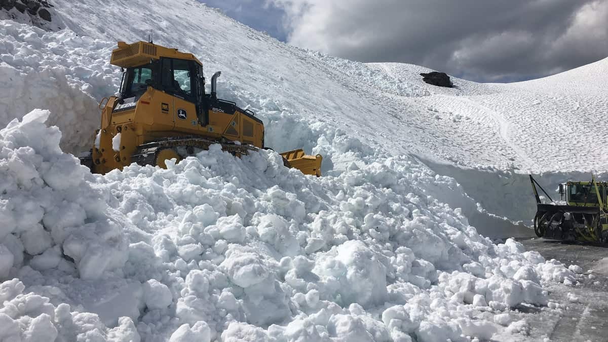
Hazardous conditions could lead to road closures on I-90 over Snoqualmie Pass, as well as Hurricane Ridge in the Olympics. Blewett Pass (US-97), Loup Loup Pass (WA-20), Stevens Pass (US-2) and McKenzie Pass (OR-242) will also be trouble spots. The storm will also impact the city of Mount St. Helens, Mt. Baker and Crystal Mountain ski areas and Mount Rainier National Park. Check chain laws here for the latest updates on winter driving.
Drenching rains, flooding potential and possible landslides will affect drivers on the I-5 corridor from Seattle to Portland and westward toward US-101. Tomorrow the heavy rain and flooding threats will spread south of Portland into northwestern California. Some areas of the Washington and Oregon lowlands could get hit with 5 to 10 inches of rainfall.
Another issue along US-101 will be the winds. Gusts of 60 to 70 mph will slam the Oregon coast tonight and Saturday, making any last-mile deliveries a bit more challenging. In transportation, supply chain, manufacturing and retailing, the term “last mile,” also known as “final mile,” is used to describe the movement of products (and passengers) the last leg of transportation from a facility – such as a warehouse, store, airport or train station – to a final destination.
The valleys and lowest peaks from the I-5 corridor to the coast will get drenched by periods of heavy rainfall through Saturday, Dec. 21, from Seattle to just south of Portland. Rainfall totals of 4 to 8 inches will be common. Rapidly rising rivers, creeks and streams could cause significant flooding that will continue after the rain stops. The downpours, falling onto very dry soils, may trigger landslides. The region has been abnormally dry since Thanksgiving and is now in a moderate drought, according to the latest U.S. Drought Monitor report released today.
To make matters worse, wind gusts of 60 to 70 mph will give truckers trouble on US-101. The winds may also result in property damage and beach erosion in some coastal communities.
Besides hazardous road conditions, short-term disruptions at the ports of Seattle and Portland are possible due to the high winds and heavy rainfall. It’s typically a slow time of the year for overall air cargo at Seattle-Tacoma International Airport (ICAO code: SEA), but whatever Christmas and other holiday gifts are on their way to/from the Pacific Northwest may be delayed. Same goes for freight on Union Pacific (NYSE: UNP) and BNSF (NYSE: BRK.A) railroads in the region.

Shippers, carriers and brokers who subscribe to FreightWaves SONAR can locate these types of assets at potential risk of weather disruptions. They are shown as color coded dots and “doughnuts” inside the Critical Events platform based on the anticipated level of disruption, as shown on the map above, and are updated as conditions and forecasts change.
Other areas of snowfall
The same storm that is blanketing the Cascades will dump heavy snowfall in the Rocky Mountain front. Far northern Idaho will see totals of 12 to 24 inches in the mountains today. Fierce winds will gust as high as 50 mph. The mountains of northwestern Montana will also get their share of snowfall, with 12 to 18 inches accumulating from today through tomorrow, Dec. 21. Winds may be even worse than in Idaho, gusting up to 80 mph at times above 5,000 feet. Logan and Marias passes will likely see 6 inches of snow or less.
Heavy snowfall will develop in the Sierra Nevada of eastern California on Sunday, Dec. 22. The highest amounts, up to 15 inches, will probably occur south of US-50 above 4,500 feet.
Other notable weather
Watch out for dangerous crosswinds of 60 to 80 mph today and this evening on I-15 in Montana. This will affect drivers from Great Falls to the Canadian border.
There’s also an elevated blow-over risk through this evening in southeastern Wyoming. Problem areas are along I-25 between Chugwater and Wheatland, I-80 over the summit between Cheyenne and Laramie and I-80 between Arlington and Elk Mountain.
Finally, a storm along the Gulf Coast could result in areas flooding across parts of the South, especially along and south of I-20. The heavy rainfall will occur mostly from Saturday night, Dec. 21, through next Monday, Dec. 23. Some spots could receive two to five inches.
