


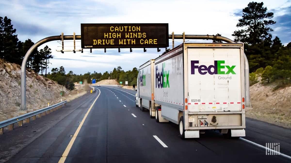
Ferocious winds will continue to rock the shores and inland communities of Lake Erie and Lake Ontario today as a strong cold front blasts through the Northeast region. Whether hauling a full load or LTL, deadheading or bobtailing, drivers will have to extra careful.
Nasty Northeast
Gusts of 55 to 65 mph will be common in places like Buffalo, Niagara Falls, Jamestown, Rochester, Syracuse, Watertown, Saranac Lake and Plattsburg on the I-80 and I-91 corridors. Gusts will be just as strong across the eastern half of Maine. Meanwhile, gusts of 40 to 50 mph will be persistent throughout the rest of New England, Long Island, New York City, upstate New York, Philadelphia, New Jersey and the Delmarva Peninsula, including the I-95 corridor.
Trees and utility lines may get blown down, resulting in additional power outages and potential roadblocks. As of 9:00 a.m. EDT today, more than 650,000 customers had no electricity from Virginia to Maine; 230,000 of them in New York state. The National Weather Service (NWS) has High Wind Warnings posted in some areas until 6:00 p.m. EDT this evening. Forecasters expect the winds to fade by then. These warnings – as well as airports, seaports and other assets at risk within the warning zone – are housed inside the FreightWaves SONAR Critical Events platform shown in the map below.

Besides ground transportation issues, winds could also delay freighters at many airports across the region, particularly at Buffalo Niagara International Airport (ICAO code: BUF), Syracuse Hancock International Airport (ICAO code: SYR), Greater Rochester International Airport (ICAO code: ROC) and Albany International Airport (ICAO code: ALB). This is where winds will be the strongest. Short-term disruptions at regional ports along the St. Lawrence Seaway.
California winds easing
Firefighters have been making progress gaining control over several large wildfires burning across California, but the battle isn’t over. The state’s Department of Forestry and Fire Prevention (CAL FIRE) reported nearly 15 fires as of this morning. The largest is still the Kincade Fire in Sonoma County, which started on October 23 just north of Santa Rosa. It covers almost 78,000 acres and is 65% contained, compared to 45% yesterday. Other fires range from 50% to 90% containment. Unfortunately, a new fire – the Maria Fire – sparked yesterday across the Santa Clarita River from Santa Paula. This is about 50 miles west of Los Angeles. The Maria Fire covers about 8,000 acres.
Diablo winds have died down substantially in northern California. However, Santa Ana winds will continue in parts of southern California today, gradually diminishing by this evening. Wind won’t be as dangerous as they’ve been the past few days, but they should be just strong enough to keep critical fire conditions going in the windiest locations. Look for gusts generally between 25 and 35 mph across the mountains of Los Angeles and Ventura counties, as well as the Santa Clarita Valley and Ventura County valleys. This also includes Simi Valley and Thousand Oaks.

In addition to the winds, very dry air will persist through the rest of the week with less than 10% humidity in the afternoons.
In response to the California wildfires, the Federal Motor Carrier Safety Administration (FMCSA) has suspended certain regulations, including hours of service and Temporary Operating Authority Registration fees, for truck drivers who want to provide direct assistance in the state.
Trucking companies hauling supplies, goods, equipment and fuel into California, or providing other emergency assistance, are exempt from Parts 390 through 399 of the Federal Motor Carrier Safety Regulations (FMCSRs). Direct assistance ends when a truck is used in interstate commerce to transport cargo or provide services not directly supporting the emergency relief effort.
Other weather today, November 1, and this weekend
Overall, the weather will be pretty quiet across the continental U.S. Look for scattered areas of rain and snow from tonight through Sunday, November 3, across the High Plains and Great Lakes states. Intensity and accumulations should be low enough not to cause major transportation issues.
Drivers who have to move through/park in the Southeast may want to pour winter additive into their diesel. Temperatures will drop to freezing/below freezing for a few hours early Saturday and Sunday mornings. The cold air will sink as far south as the Texas Panhandle, Little Rock, Memphis, Nashville, Birmingham, northern Georgia and upstate South Carolina.
Have a great day and a wonderful weekend! Be careful out there.