




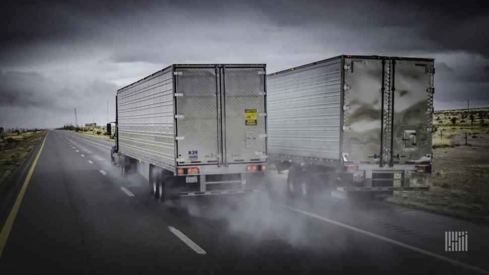
Heavy thunderstorms could flood parts of the Plains, Midwest and Southeast from time to time this week. Truckers will be delayed by periods of torrential rainfall and potential road closures.
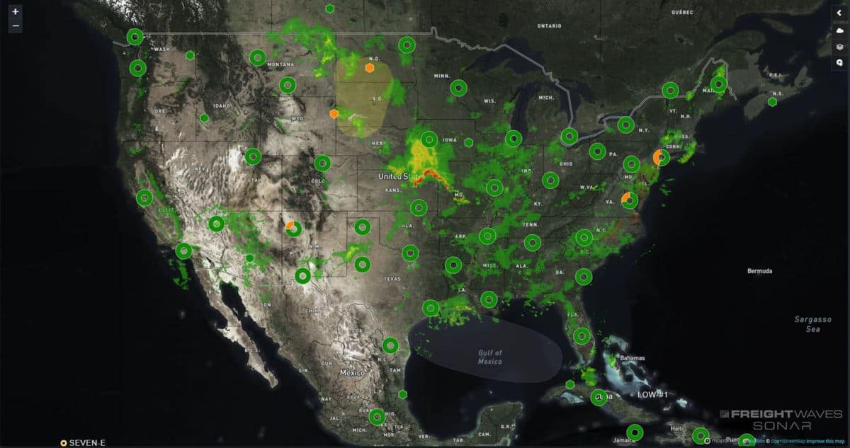
A series of fronts, plus plenty of summer heat and humidity, will provide ample energy for thunderstorm development each day in places across the eastern two-thirds of the country.
With lack of a strong jet stream to steer these systems at a steady cadence, the fronts may stall at times, prolonging the lives of some storms. This is why certain areas could get drenched with intense rainfall rates of 1 to 2 inches per hour, leading to flash flooding, in addition to total rainfall amounts for the week potentially exceeding 5 or 6 inches.
The areas most at risk, based on the latest outlook from the National Weather Service (NWS), are from northern Minnesota into northern Wisconsin, eastern Kansas into western and central Missouri, as well as the southern Appalchians. This includes, but is not limited to places such as Duluth, Minnesota; Kansas City, Missouri; and western North Carolina, including Asheville.
Heavy rainfall could cause flash flooding in other parts of the country, but the locations previously mentioned will probably be hit the hardest, partly due to storms “training.” Training is when storms hit the same areas over and over again, sometimes on the same day. This burdens drainage systems that are not well-maintained, leading to overflows and flooded intersections. Persistent downpours from training also causes creeks, streams and small rivers to rise rapidly. The water can then flow across roads, leading to possible closures.
Despite the flooding threat and drivers hitting some delays due to the storms, there is one silver lining — the rain will alleviate drought conditions still prevalent in the central Plains. The U.S. Drought Monitor shows parts of eastern Kansas and Missouri in a “moderate drought” or as “abnormally dry.”
While flash flooding will be the main issue, severe storms may pop up in some of the areas that get flooded. Winds of 60 mph or greater and large hail of 1 inch in diameter or larger could damage homes, businesses and property in spots, especially along the Interstate 70 corridor from Denver to Cincinnati.
Click here for more FreightWaves articles by Nick Austin.
Brokerage Compliance Symposium
The day before F3. Every compliance issue you face - fraud exposure, carrier liability, FMCSA rules, cargo theft, insurance gaps - navigated by attorneys and operators defining best practices in a changing industry.
F3 Awards Dinner
The night before F3. FreightTech100 companies honored. FreightTech 25 and Shipper of Choice winners revealed live. Cocktail reception into dinner and live music - 300 industry leaders in one purpose-built room.
F3: Future of Freight Festival
Industry-defining keynotes, rapid-fire technology demos, and industry leaders networking in experiences across Chattanooga - plus the inaugural F3 Awards Dinner featuring the FreightTech and Shipper of Choice reveals.
The day before F3. Every compliance issue you face - fraud exposure, carrier liability, FMCSA rules, cargo theft, insurance gaps - navigated by attorneys and operators defining best practices in a changing industry.
The Signal at Chattanooga Choo Choo • Chattanooga, TN Register NowThe night before F3. FreightTech100 companies honored. FreightTech 25 and Shipper of Choice winners revealed live. Cocktail reception into dinner and live music - 300 industry leaders in one purpose-built room.
The Signal at Chattanooga Choo Choo • Chattanooga, TN Register NowIndustry-defining keynotes, rapid-fire technology demos, and industry leaders networking in experiences across Chattanooga - plus the inaugural F3 Awards Dinner featuring the FreightTech and Shipper of Choice reveals.
The Signal at Chattanooga Choo Choo • Chattanooga, TN Register Now