




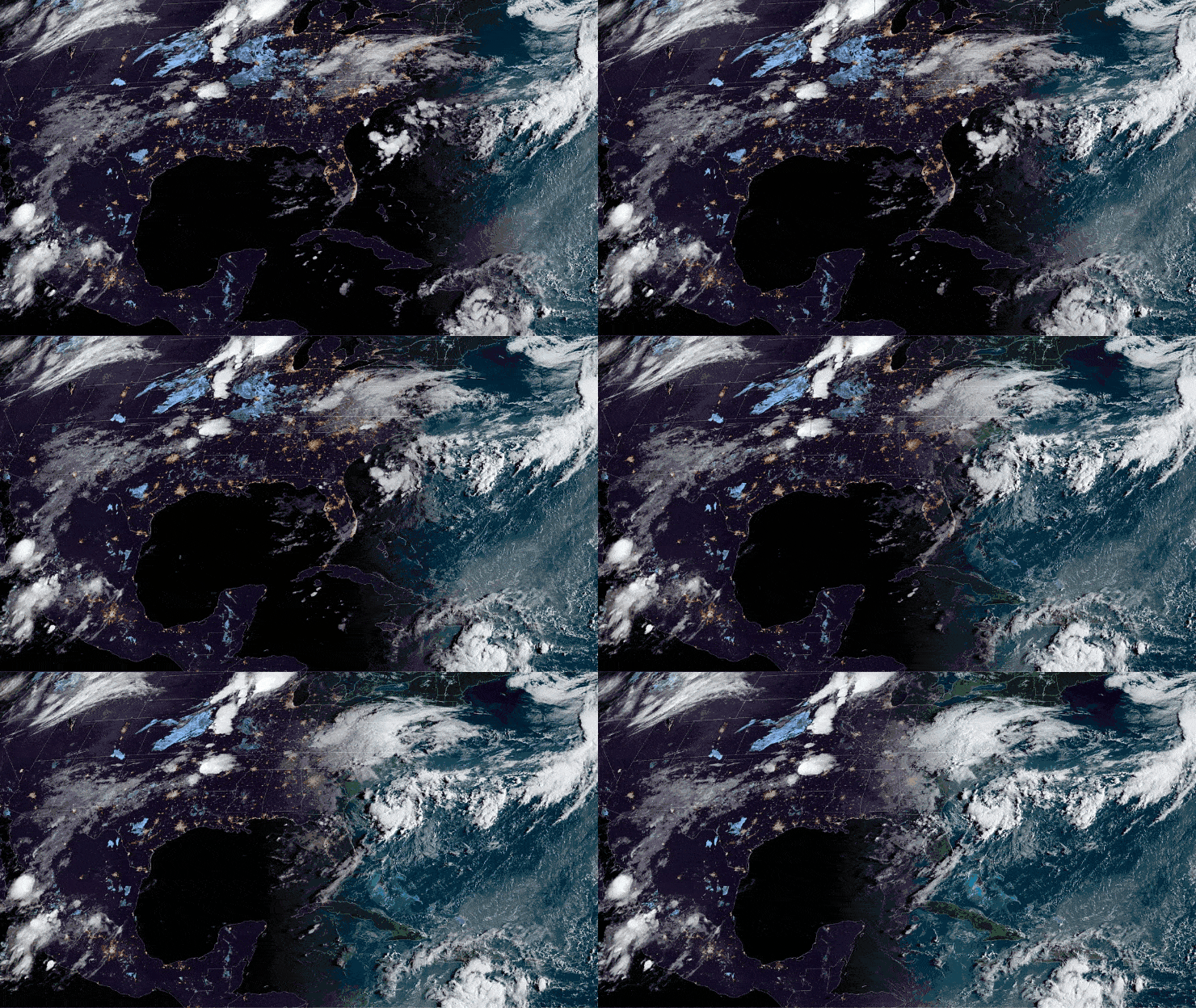
Less than a week after Hurricane Laura slammed the Louisiana coast, two new tropical cyclones could develop in the Atlantic basin this week.

The first area of interest is off the U.S. Southeastern coast. This tropical wave, about 150 miles southeast of Wilmington, North Carolina, is producing only minimal showers and thunderstorms along the coast and at sea but could organize a little more over the next two days. The National Hurricane Center (NHC) gives it a 70% chance of becoming a tropical depression. Fortunately, this system should remain far enough offshore that it won’t cause major problems. However, it will continue to produce periods of rain and possibly high surf from the South Carolina coast to the Outer Banks of North Carolina. An Air Force Reserve Hurricane Hunter aircraft is scheduled to investigate the system Monday afternoon if necessary.
Another broad area of low pressure associated with a tropical wave is located over the central Caribbean Sea. It has changed little since Sunday. However, the NHC expects environmental conditions to gradually become more conducive for development, and a tropical depression is likely to form during the next couple of days while the system moves west. Interests in Jamaica, Honduras, Belize, Guatemala and the Yucatán Peninsula should monitor the progress of this disturbance.

On the other side of the world, Typhoon Maysak will likely make landfall in South Korea by midweek. As of 8 a.m. EDT Monday, it was producing sustained winds of 115 mph, heading toward the East China Sea
Other weather conditions this week
Drivers will run into periods of heavy rainfall and potential flash flooding this week in the Plains and the Mississippi Valley. Rainfall totals of 5 to 7 inches could hit areas from Wichita Falls, Texas, to Oklahoma City; Fort Smith and Little Rock, Arkansas; southeastern Kansas; as well as southern Missouri. Occasional ramp and road closures are possible.
Thunderstorms could produce severe winds, large hail and isolated tornadoes Monday from central and northern Texas to portions of Kansas, Arkansas and Missouri.

Oppressive heat will spread from southern and eastern Texas into Louisiana, southeastern Arkansas and western Mississippi. Highs will be well into the 90s, with heat index readings of 105 to nearly 115 degrees.
Due to disruptions to the freight market from Hurricane Laura, FreightWaves is providing free access to key features of SONAR through Friday, Sept. 4. Click here to learn more.
Brokerage Compliance Symposium
The day before F3. Every compliance issue you face - fraud exposure, carrier liability, FMCSA rules, cargo theft, insurance gaps - navigated by attorneys and operators defining best practices in a changing industry.
F3 Awards Dinner
The night before F3. FreightTech100 companies honored. FreightTech 25 and Shipper of Choice winners revealed live. Cocktail reception into dinner and live music - 300 industry leaders in one purpose-built room.
F3: Future of Freight Festival
Industry-defining keynotes, rapid-fire technology demos, and industry leaders networking in experiences across Chattanooga - plus the inaugural F3 Awards Dinner featuring the FreightTech and Shipper of Choice reveals.
The day before F3. Every compliance issue you face - fraud exposure, carrier liability, FMCSA rules, cargo theft, insurance gaps - navigated by attorneys and operators defining best practices in a changing industry.
The Signal at Chattanooga Choo Choo • Chattanooga, TN Register NowThe night before F3. FreightTech100 companies honored. FreightTech 25 and Shipper of Choice winners revealed live. Cocktail reception into dinner and live music - 300 industry leaders in one purpose-built room.
The Signal at Chattanooga Choo Choo • Chattanooga, TN Register NowIndustry-defining keynotes, rapid-fire technology demos, and industry leaders networking in experiences across Chattanooga - plus the inaugural F3 Awards Dinner featuring the FreightTech and Shipper of Choice reveals.
The Signal at Chattanooga Choo Choo • Chattanooga, TN Register Now