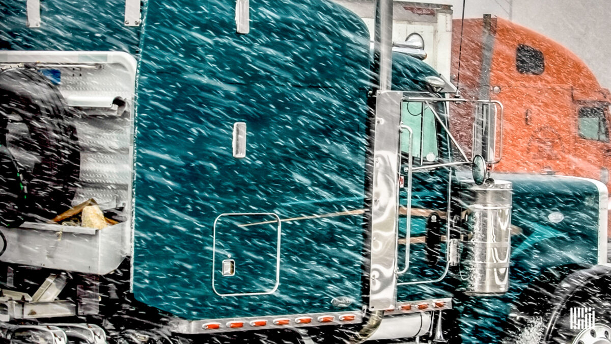
Truckers heading into the Upper Midwest will hit delays from treacherous winter weather through Friday morning.
Related: 5 states with toughest chain laws for truckers
A strong cold front stretching from the Great Lakes to the Gulf Coast produced severe storms and tornadoes Wednesday from Texas to Missouri. On the northern end of the system, garden-variety showers and storms popped up across the Midwest.
Behind the front, the air is getting colder and remains saturated. Snow showers were developing Thursday morning across northern parts of North Dakota and Minnesota. As temperatures fall below freezing later Thursday across the rest of the region, more snow will develop, getting heavy in many areas.
Along with the snow, extremely gusty winds will kick in, leading to potential blizzard conditions. The National Weather Service defines a blizzard as blowing and/or falling snow with winds of at least 35 mph, reducing visibility to a quarter of a mile or less for at least three hours.
The NWS has issued a blizzard warning for northeastern South Dakota and western Minnesota, impacting portions of Interstate 29. Various other winter-weather alerts have been posted for the rest of eastern South Dakota, the eastern half of North Dakota, as well as the western half of Minnesota.
Snow totals of 4 to 8 inches through Friday morning will be common, with wind gusts ranging from 40 to 55 mph. Drivers will experience periods of blizzard and whiteout conditions, in addition to an elevated risk of rollovers. Even after the storm fades, roads may still be treacherous Friday afternoon and into the weekend.
Portions of the Dakotas, including Bismarck, Pierre and Rapid City, that receive little to no snow will still be slammed with high winds. Gusts will reach 50 to 70 mph through early Friday morning.
Major lanes of concern
• Interstate 29 from the Minnesota-North Dakota-Canada border to Brookings, South Dakota.
• Interstate 90 from Albert Lea, Minnesota, to Rapid City.
• Interstate 94 from Dickinson, North Dakota, to St. Cloud, Minnesota.
Click here for more FreightWaves articles by Nick Austin.
You might also like:
What does La Nina mean for truckers this winter?
Rollover alleys: 5 Interstate stretches that pose greatest risk
Truckers who died helping accident victims named Highway Angels
Colorado trucking company takes ‘huge hit’ from I-70 closures


