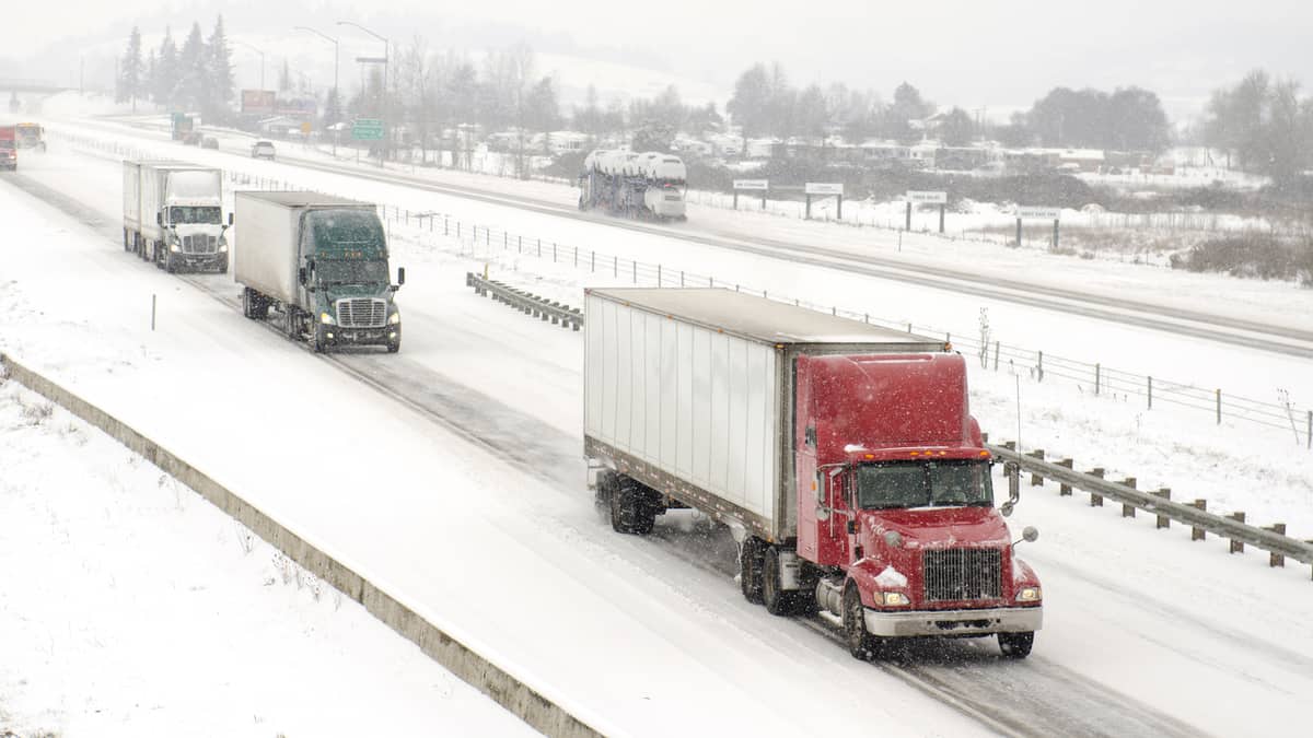
A powerful, quick-hitting snowstorm that began overnight in the Midwest will linger through Thursday night. Truckers will run into hazardous conditions across a large region, impacting more than half a dozen states.
The worst weather will stretch from the eastern half of Nebraska to Michigan. Snowfall totals will be higher on the northern side of the storm, with 8 to 12 inches possible in northern Wisconsin, as well as Michigan’s Upper Peninsula and portions of lower Michigan. Lake-effect snowfall will linger Friday in these places.
Areas in the southern end of the storm, like Sioux City, Iowa, and Omaha, Nebraska, will see totals of only 1 to 3 inches. Many places in between, such as Chicago, Milwaukee and northern Indiana, will see 3 to 6 inches. There’s also a chance of sleet and freezing rain in some spots. This could cause a glaze of ice, especially on bridges, overpasses and untreated roads.
Chicago and Joliet, adjacent freight markets in Illinois, are two of the leading markets regarding outbound volumes. This means they have some of the highest amounts of freight being offered by shippers to carriers, based on the latest FreightWaves SONAR Outbound Tender Volume Index (OTVI) in the map below. Naturally, this is where many drivers want to go. But the storm may delay them.
Besides the snowfall, this blizzard will produce wind gusts of 40 to 45 mph, leading to blowing snow and possible whiteout conditions. The National Weather Service (NWS) has issued a blizzard warning for central and northern Iowa, but this does not yet include Des Moines. However, blizzard conditions are likely in other areas in the storm’s path. The NWS has issued winter storm warnings and winter weather advisories for other parts of the impact zone.
The storm will move through the Northeast Friday. But it won’t be nearly as intense as the storm that dumped 24 to 36 inches of snow in some areas earlier this week. This storm will be a bit warmer, with more rain/wet snow along Interstate 95 rather than only dry, fluffy snow. This storm won’t last as long either and should exit most of the region Friday night.
Also, look for areas of heavy snowfall Thursday and Friday in the northern and central Rockies, in addition to portions of the Cascades. Another snowstorm could return to these areas Sunday.


