


It’s the middle of spring, but truckers in the High Plains know that Mother Nature doesn’t always pay attention to the calendar. A quick winter-like storm could briefly delay freight flows across the northern Rockies tonight into early Thursday, May 7.

A low pressure system and associated cold front will produce heavy rainfall and thunderstorms in the Pacific Northwest today. But tonight, much colder air will enter the upper levels of the storm as it moves into the High Plains. This will change rainfall to snowfall in the high elevations of northern Idaho and western Montana, mainly above 4,000 to 5,000 feet in elevation.
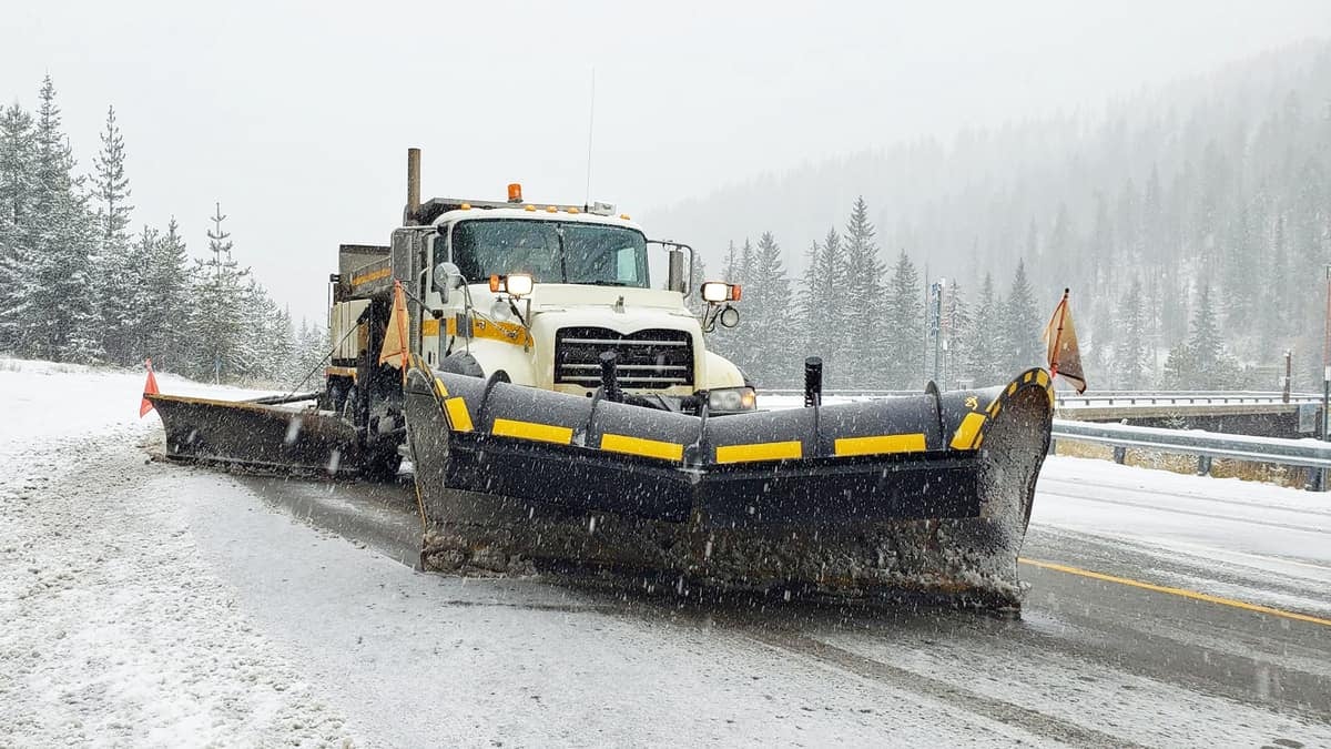
The National Weather Service (NWS) has issued a winter weather advisory for portions of Montana. Two to 4 inches of snowfall will accumulate in the West Glacier region of Montana from tonight into tomorrow morning. Meanwhile, 4 to 9 inches could pile up in the mountains around the Great Falls area. Along with the snowfall, wind gusts will reach 40 to 45 mph, possibly causing blowing snow and reduced visibility.
Snowstorms aren’t unusual in this part of the country in early May. In fact, snowfall hits some peaks in the Rockies as late as early summer. However, because more people venture outdoors this time of year, the NWS issues alerts to keep the public safe.
Strong winds will also be an issue in parts of the region where snow doesn’t fall tonight. Gusts could reach 50 to 60 mph across southern Idaho and far western Montana, portions of central and eastern Montana, and sections of northern and southern Wyoming. Blowing dust could limit visibility in some of these areas.
This storm could dump wet snow in Chicago by Friday, May 8, along with rain and thunderstorms in Atlanta. Minor delays in freight movement are possible on the Chicago-to-Atlanta lane, where the outbound tender rejection index (OTRI.CHIATL) stands at just 2.32%, which is a bit less than the national average. This suggests that spot rates are well below contract rates.

The low rejection rate also suggests that the Chicago outbound market is particularly flooded with capacity. However, carriers may still accept loads to get out of Chicago. Atlanta is a better destination than most because it puts carriers in a strong headhaul market, meaning it has more outbound volume than inbound. So drivers have good odds of picking up loads in Atlanta after dropping off long-haul freight from Chicago. Just keep in mind that drivers may run into short-term weather delays on Friday along the Chicago-to-Atlanta lane.
Have a great day! Please stay healthy and be careful out there!