


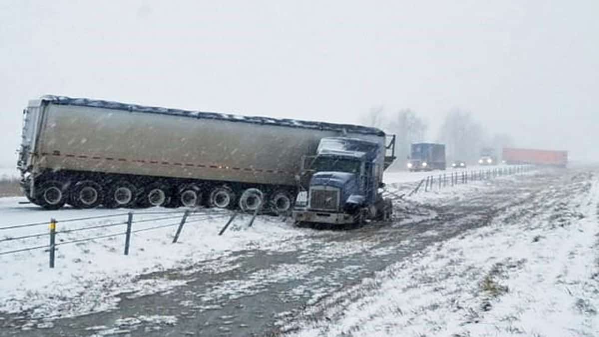
A potentially strong snowstorm could track across nearly a dozen states from Easter Sunday into Monday, April 13. Heavy snowfall and gusty winds may slow down freight movement from Denver to Milwaukee.

A fast-moving cold front will move from southern Canada through the north-central United States and Great Lakes over the upcoming holiday weekend. This could cause minor to moderate disruptions to transportation (air, road and rail) on Easter Sunday and on Monday.
A storm of this magnitude would be unusual in mid-April, even for the Plains and upper Midwest. However, widespread road and rail closures are unlikely.
Total snow accumulations in the impact zone will mostly range from 4 to 8 inches, with pockets of 10- to 12-inch totals. Some parts of upper Michigan could see 12 inches or more.
Wind gusts will reach 30 to 40 mph at times. Since the snow will be heavy and wet in many areas, blowing and drifting snow will not cause whiteout conditions everywhere in the storm’s path.
Based on the latest models, this storm will hit cities such as Great Falls, Cheyenne, Denver, Omaha, Sioux City, Cedar Rapids, Milwaukee, Green Bay and Marquette. The National Weather Service (NWS) has issued winter storm watches across a large part of Montana. They will likely add more winter weather alerts to the south and east today and tomorrow.
Impact on freight
The impending Easter snowstorm could clip two fairly major freight markets – Denver and Milwaukee, which are circled in yellow on the FreightWaves SONAR map below. The green outline is the estimated impact zone of the storm.

The index on the map is the Headhaul value, which is the difference between outbound volumes and inbound volumes for each of the 135 freight markets in the continental U.S. Markets in dark blue have much more outbound freight than inbound (“headhaul” market), with typically tighter capacity. These are the markets with the most available loads to be picked up.
Markets in dark red have much more inbound freight than outbound (“backhaul” market), with typically looser capacity. Carriers usually try to avoid sending drivers into these areas due lack of freight available for pick up.
Denver and Milwaukee are the two highest-value headhaul markets in the potential impact zone of the Easter Sunday and Monday snowstorm. Carriers planning to go into these markets should plan to pick up loads in time to leave by early Sunday, April 12. Otherwise, since the storm will last into April 13 in the Midwest, shippers must be willing to extend their lead times to allow for pick-ups after the 13th.
Have a great day! Please stay healthy and be careful out there!
