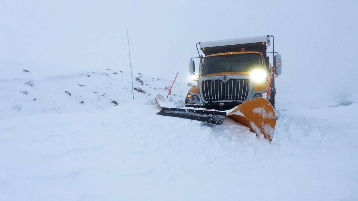
A strong snowstorm is likely to make for a messy Easter weekend in nearly a dozen states. Heavy snowfall and gusty winds may slow freight movement in areas from the Rockies to the Great Lakes.

A strong arctic cold front will move from southern Canada through the north-central United States over the upcoming holiday weekend. The front will produce heavy snowfall across Montana and northern Wyoming on Saturday. Saturday night through Easter Sunday, heavy snowfall, accompanied by gusty winds, will spread from the Colorado Rockies to Michigan. In some areas, precipitation may start as rain before changing to snow. The storm could cause minor to moderate transportation disruptions on roads, rails and runways before fading Monday across Wisconsin and the Upper Peninsula of Michigan.
Total snow accumulations in the impact zone will mostly range from 4 to 8 inches, with pockets of 10- to 12-inch totals. Some parts of upper Michigan could see 12 inches or more. Wind gusts will reach 30 to 40 mph at times, resulting in periods of blowing snow and reduced visibility. The storm may force transportation departments to close interstate ramps or sections of interstate highways, but widespread closures are unlikely.
Based on the latest models, this storm will hit cities such as Great Falls, Montana; Cheyenne, Wyoming; Denver; Omaha, Nebraska; Sioux City and Cedar Rapids, Iowa; Pierre and Sioux Falls, South Dakota; Milwaukee and Green Bay, Wisconsin; and Marquette, Michigan. The National Weather Service (NWS) has issued various winter weather alerts from Montana to Wyoming, southern South Dakota and portions of Nebraska. They may add more alerts through the day and evening Friday.
Impact on freight
The impending Easter weekend snowstorm will mainly affect drivers on regional runs, or those on long hauls from the Midwest to the West Coast. Most freight markets in the storm’s potential impact zone are minor markets with low levels of outbound volumes.
The exception is the Denver market, which includes southeastern Wyoming and the Cheyenne area. The latest FreightWaves SONAR data, updated Friday morning, shows Denver is the 16th-largest market in the country out of 135 markets. This is despite an overall recent decline in outbound tender volumes (OTVI.DEN).
Outbound tender rejections (OTRI.DEN) — the percentage of contracted freight that carriers turn down — has dropped dramatically from around 30% in late March to around 11% Thursday. An OTRI value of 10% or more usually indicates tight capacity with spot rates exceeding contract rates. But the sharp drop in rejections means that carriers have been accepting an increasing number of loads in the Denver market. If OTRI drops into the mid- to high single digits, this means the market is likely becoming balanced, with spot rates close to contract rates.
Other Easter weekend weather
An outbreak of severe thunderstorms is likely across the South on Easter Sunday from eastern Texas across the rest of the Gulf Coast, to the Tennessee and Ohio valleys. As of Friday morning, it looks like the following areas may have the best odds for tornadoes, large hail or wind gusts of 60-plus mph: Houston, Texas; New Orleans and Baton Rouge, Louisiana; Jackson, Mississippi; Birmingham, Huntsville and Mobile, Alabama; Nashville, Memphis and Chattanooga, Tennessee; and the highest-volume freight market of Atlanta.
Have a great day! Please stay healthy and be careful out there!


