


Ports in the Southeast are bracing for what is expected to be a Category 1 hurricane when Nicole makes landfall in Florida late Wednesday night or early Thursday.
Condition Zulu, meaning the gates are closed and no operations are taking place, has gone into effect in Florida at Port Miami, Port Canaveral, Port Everglades and Jaxport. The ports of Savannah and Brunswick in Georgia and Charleston in South Carolina on Wednesday were at condition X-Ray, which means gale-force winds are expected within 48 hours.
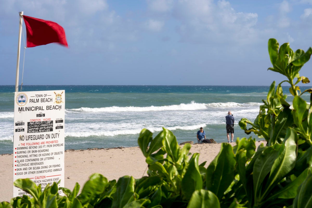
Passenger-concentrated airports in Palm Beach, Daytona Beach and Orlando, Florida, were expected to close Wednesday afternoon. The Associated Press reported that Miami International Airport, a major air cargo hub, was experiencing some delays and cancellations but planned to remain open.
The National Hurricane Center (NHC) tweeted at 11:55 a.m. EST Wednesday that Tropical Storm Nicole had made landfall in the Bahamas at Great Abaco Island with estimated maximum sustained winds of 70 mph.
In a 1 p.m. update, the NHC said the storm was about 175 miles east of West Palm Beach, Florida, moving at 12 mph and that “tropical storm-force winds extend outward up to 460 miles, especially to the north of the center.”
“The center of Nicole will move near or over the Abacos and Grand Bahama in the northwestern Bahamas [Wednesday] afternoon and move onshore the east coast of Florida within the hurricane warning area [Wednesday night],” the NHC update said. “Nicole’s center is then expected to move across central and northern Florida into southern Georgia Thursday and Thursday night, and then across the Carolinas Friday and Friday night.”
The NHC forecast Nicole would be a Category 1 hurricane when it hits the east coast of Florida late Wednesday night or shortly after midnight Thursday. A Category 1 hurricane has winds of 74 to 95 mph.
In a briefing late Wednesday morning, Florida Gov. Ron DeSantis said Nicole was expected to make landfall in Martin County as a Category 1 hurricane and will move through the state, exit into the Gulf of Mexico and then make landfall again somewhere in the Big Bend region in north Florida.
“The combined winds and storm surge will contribute to continued beach erosion in areas that have already seen erosion from Hurricane Ian,” DeSantis said. “The wind field from the storm is very large and we expect impacts to stretch far beyond the center track, including tropical storm-force winds as far north as Jacksonville. Winds are the main concern with Nicole, but we also expect to see some heavy rains, the potential for flash flooding and 3 to 5 feet of storm surge in some areas.”

He said evacuation orders have been issued for Florida’s Brevard, Flagler, Martin, Palm Beach, St. Johns, St. Lucie and Volusia counties. The governor on Monday declared a state of emergency for 34 counties in the potential path of Nicole.
President Joe Biden on Wednesday ordered federal assistance to supplement state and local emergency efforts. The Federal Emergency Management Agency also is still rendering aid to Floridians impacted by Hurricane Ian, which devastated portions of the southwestern part of the state in October.
The U.S. Coast Guard Southeast said its crews were making “heavy weather preparations” Wednesday across Florida, Georgia and South Carolina. That included conducting flights along the eastern coast of Florida, prestaging buoys aboard a cutter in Charleston and preparing vessels and other equipment at U.S. Coast Guard Station Mayport in Florida.
WJAX-TV meteorologist Garrett Bedenbaugh said Wednesday that a “potent band of rain,” as well as the potential for waterspouts and tornadoes, will impact Florida’s Duval County, where Jaxport is located, beginning Thursday morning.
Winds of 50 to 60 mph and waves of 10 to 15 feet are forecast for the Jacksonville area.
“The wind is going to be a factor — and flooding,” Bedenbaugh said.
DeSantis said Floridians should expect power outages caused by the storm.
$23M Jaxport grant will aid ‘journey to reach net-zero emissions’
South Florida Container Terminal orders 12 electric gantry cranes
Crowley resumes San Juan operations following Hurricane Fiona
Click here for more American Shipper/FreightWaves stories by Senior Editor Kim Link-Wills.