


Updated Apr. 12, 2022, 8 a.m. ET.
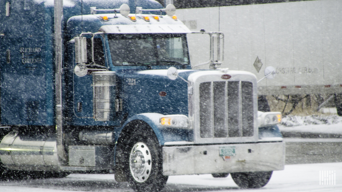
A late-season blizzard could severely slow down or even shut down transportation, supply chains and freight flows this week from the Rockies to south-central Canada.
The same storm that dumped heavy snow in high elevations of the Northwest over the weekend will become stronger as it moves farther inland. The worst conditions for truckers who can’t avoid the storm will likely be Tuesday and Wednesday, especially in the northern Rockies and northwestern South Dakota, as well as western and central North Dakota. The National Weather Service has issued blizzard warnings for these areas, where 12 to 36 inches of snow could pile up, with wind gusts as high as 50 to 55 mph.
This will lead to long periods of near-zero to zero visibility and whiteout conditions on parts of Interstate 94 and U.S. Highway 2, which are major routes in this region. Travel will also be rough in portions of northern Minnesota, central Montana, Wyoming and the Colorado Rockies, where the NWS has posted winter storm watches and warnings.
Specific impacts of the snowstorm will include significant disruptions in transportation (road and airport closures, possible rail interruptions), scattered to widespread power outages, and even severe stress on livestock. Some of the cities within the target zone include Bismarck, South Dakota; Grand Forks and Fargo, North Dakota; Miles City, Glasgow, Billings and Casper, Wyoming; Aspen, Vail and Steamboat Springs, Colorado; as well as Winnipeg, Canada.
Business operations could suffer for several days as workers may experience difficulties getting to work due to harsh travel conditions. Additionally, loading and unloading of freight and intermodal ramp operations are likely to be disrupted or delayed in the impacted areas. Air cargo will be seriously impacted by potential flight cancellations.
Major lanes of concern
- Interstate 25 from Buffalo to Casper, Wyoming,
- Interstate 29 in North Dakota from the Canada border to Fargo.
- Interstate 70 in Colorado west of Denver.
- Interstate 90 from Gillette, Wyoming, to Missoula, Montana.
- Interstate 94 from Billings to Fargo.
Other notable weather this week
Look for another possible severe storm outbreak, especially Tuesday and Wednesday, from the Plains to the Southeast. Damaging wind gusts, as well as tornadoes, could hit areas that have already been struck over the past few weeks. Truckers should make sure the weather apps on their mobile devices are set to GPS or location mode. This will ensure that they receive local severe weather alerts no matter where they are.
Click here for more FreightWaves articles by Nick Austin.
You might also like:
Disaster relief nonprofits fighting supply shortfalls
6 dead in Pennsylvania pileup during snowstorm
Colorado law includes fines for misusing I-70 mountain express lanes
