


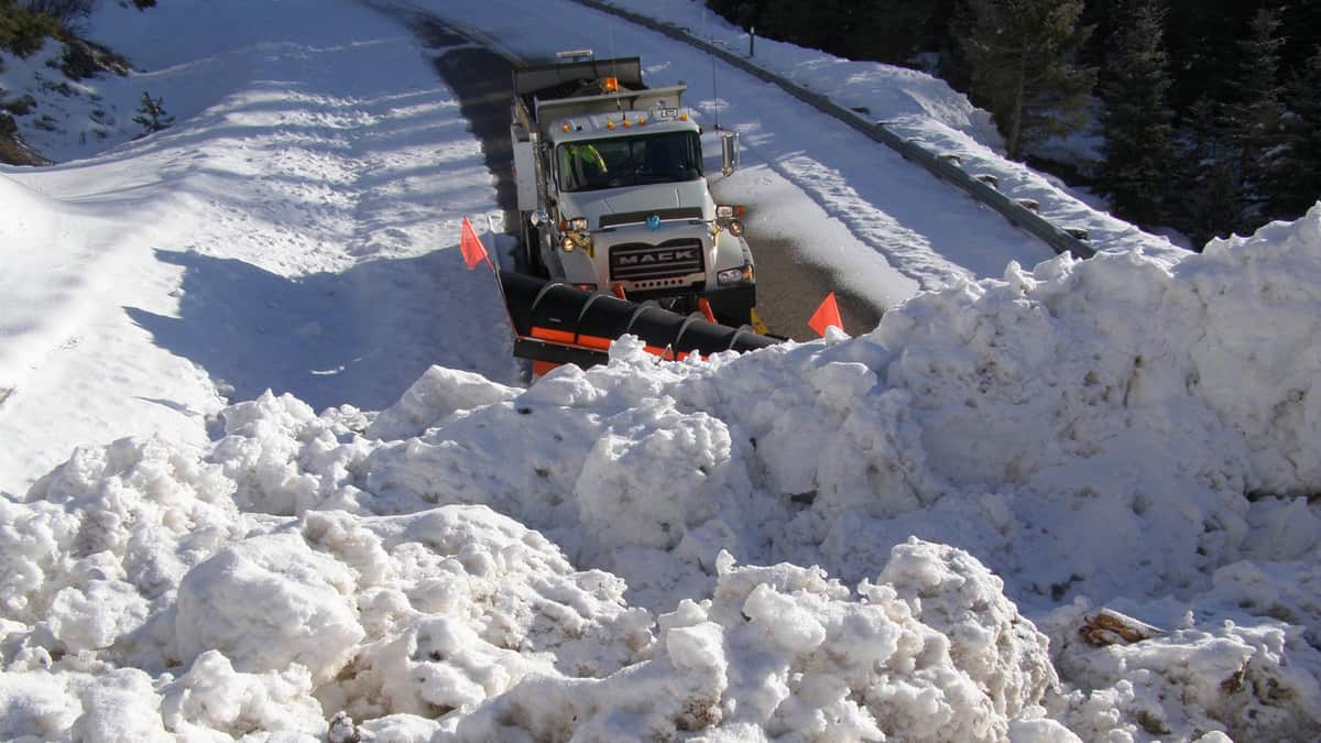
A late season snowstorm is about to slam areas of the northern Rockies tonight and Wednesday. Roads will be very slick, and truckers may need chains.

A strong low pressure system will continue to dump rainfall onto the Northwest today. The rain will change to wet snow overnight into Wednesday across the mountains of eastern Idaho and western Montana, along the Continental Divide, resulting in slushy conditions above 5,000 feet. This includes Butte, the Bitterroot Range and Sapphire Mountains. Forecasts are calling for 8 inches or more in the highest elevations.
Brian Conlan, a meteorologist with the National Weather Service (NWS) office in Missoula, Montana, told FreightWaves that a mid-June snowstorm of this magnitude is only “slightly abnormal” for those tallest peaks. However, it’s a bigger deal for other spots in the storm’s target zone.
“For areas like Butte and the passes, the amount of snow is pretty unusual for this time of the year,” Conlan said. Those passes, often used by truck drivers, are Homestake on Interstate 90; McDonald on US-12; and Lost Trail on US-93.
According to NWS records, the average daily snowfall for Butte in mid-June is zero. But this storm could dump up to 4 inches on this city, which sits at around 5,400 feet above sea level.
Between midnight and 6 a.m. local time Wednesday, temperatures will gradually drop to around freezing as the precipitation comes down harder during the transition from rain to snow.
“I think at that point is when we’ll really start to see lower visibility, and accumulation on the roads because of how heavy the precipitation will be,” added Conlan.
Conlan and other meteorologists at the Missoula office wanted to get the word out as soon as possible so truckers and other drivers could be prepared. They began issuing winter weather alerts around midday Monday, detailing the potential of significant wet snowfall.
“I don’t know that chains will be necessary,” Conlan said. “But if it [the snow] does come down hard enough, long enough, then there will be a chance that it will start to get slippery out there.”
This storm will mainly affect the Missoula, Billings and Twin Falls freight markets, which have low outbound volumes. Not many truckers are going there to pick up loads, but they may be going there to drop off, or they’re long haul drivers heading through these areas to reach the Pacific Northwest. This storm will likely delay those drivers.

Conlan believes that reduced visibility will be a bigger issue than deep slush piling up on roads. Just in case, check chain laws here for the latest updates on winter driving.
The storm should fade Wednesday afternoon or early evening.
Click here for more FreightWaves articles by Nick Austin.