


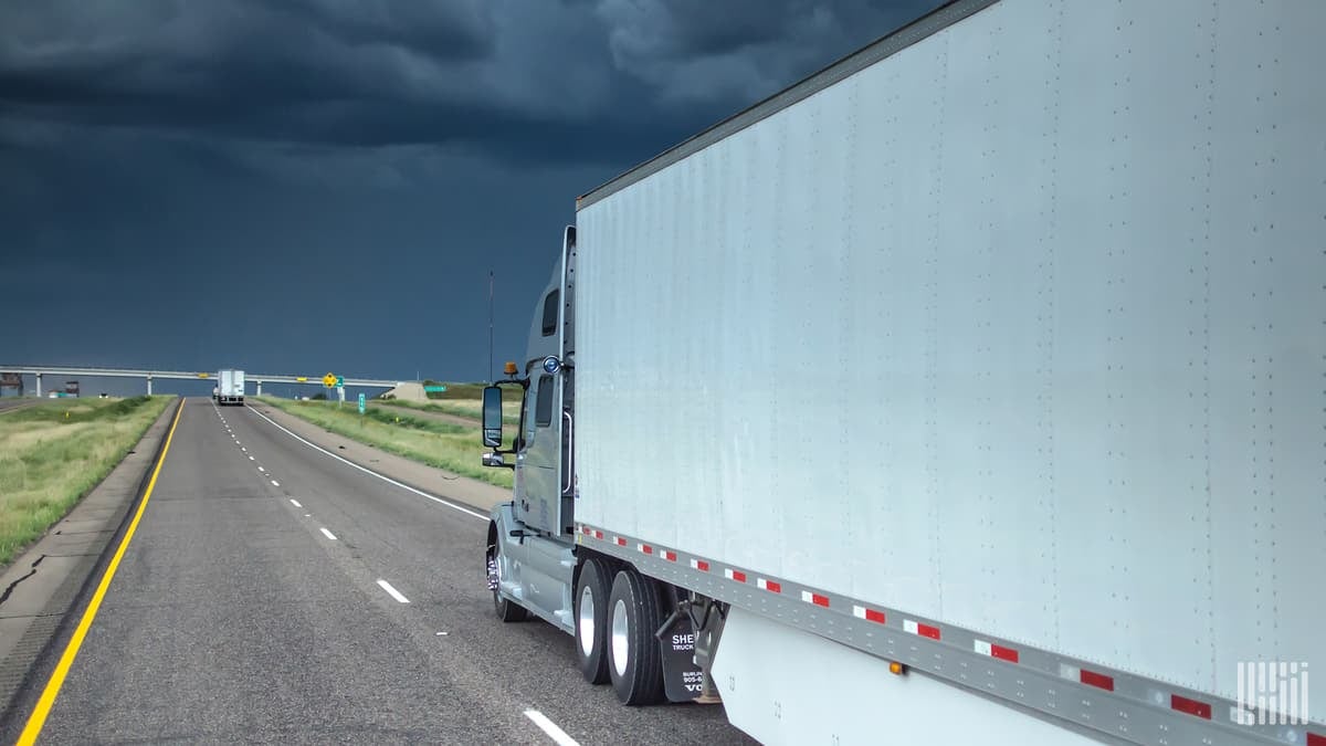
Severe thunderstorms slammed several Plains states Wednesday and Thursday from Texas to Minnesota. Mother Nature won’t give the nation’s heartland a break this first weekend of summer.

Thursday, the Storm Prediction Center (SPC), part of the National Weather Service (NWS), listed more than 30 wind damage and large hail reports across six Plains states. As predicted, the winds did plenty of damage in places that stood in their way.
A microburst produced a gust of 70 mph that snapped or uprooted a bunch of trees just a few miles northeast of Lincoln, Nebraska. Winds damaged a fireworks tent in Hickman, about 20 miles south of Lincoln. Trees and power lines were blown down in Hutchinson, Minnesota.
In Texas, the Coke County Sheriff’s Office reported hail the size of ping-pong balls. A layer of hail 2 to 3 inches high covered roads in Hohnne, Colorado.
A front – the boundary between a warm, muggy air mass and a cooler, drier air mass – will stall over the Plains Friday through the weekend, stretching from Texas to the upper Great Lakes. Some of the same areas struck by severe storms the past two days may be targets again for a third, fourth and possibly fifth consecutive day.
The National Weather Service (NWS) classifies a thunderstorm as severe if it produces any of the following based on radar or eyewitness reports:
• Winds of at least 58 mph (50 knots).
• Hail at least 1 inch in diameter.
• A tornado.
The previously mentioned cold front keeps the atmosphere unstable as cooler, denser air behind it forces warmer, humid, buoyant air ahead of it to rise. This rising motion, along with sharp lapse rates – quickly falling temperatures from the ground to the mid-atmosphere – will trigger thunderstorm development.

General “garden variety” thunderstorms will be scattered across the nation’s heartland Friday through Sunday. But Friday through Sunday, some storms could turn severe, containing additional dangerous wind gusts that may cause rollovers, occasional blinding rainfall and large hail. Roads and ramps may be closed due to flash flooding, with some areas picking up 3 to 5 inches of rainfall over the next three days.
Click here for more FreightWaves articles by Nick Austin.
