


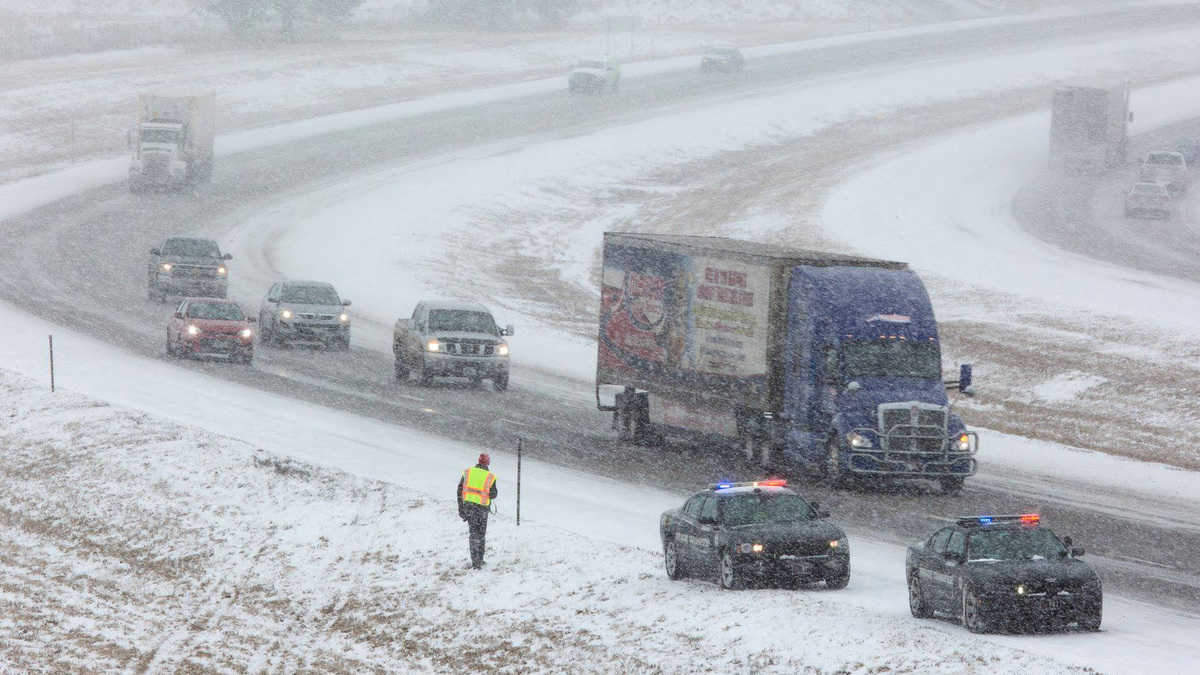
A high-impact winter storm is still on track to move through the central Rockies and portions of the Plains this weekend. Shippers should expect potentially significant delays in freight flows.
Heavy snowfall and strong winds will initially develop Friday afternoon over the mountains of Colorado, migrating into the Plains late Friday through the weekend. Virtually all the most recent computer models are depicting a fairly large area of heavy snowfall, with the epicenter of the biggest totals piling up in western Nebraska, eastern Wyoming and northeastern Colorado. The National Weather Service has issued a winter storm watch for the region, lasting from Friday afternoon through Sunday night.
The Denver metropolitan area could see 12 to 24 inches. However, some surrounding high elevations and foothills of the Rockies may get slammed with up to 48 inches. West of the Eisenhower Tunnel, along I-70, expect totals of 10 to 20 inches.
Denver is a leading long-haul freight market, with opportunities for carriers to pick up freight that needs to go more than 800 miles away. Drivers will need to get to Denver as soon as possible to avoid getting stuck in the storm.

Boulder and Fort Collins, Colorado, could receive up to 30 inches of snowfall, with 12 to 18 inches in Colorado Springs. Meanwhile, the storm will dump 15 to 30 inches of snowfall in much of eastern Wyoming and western Nebraska.
Other cities likely to be hit include, but are not limited to, Scottsbluff, Nebraska, as well as Laramie, Wheatland and Cheyenne, Wyoming.
Winds will be strong, creating significant amounts of blowing and drifting snow. Periods of blizzard and whiteout conditions will increase the impacts on transportation. This storm could create lengthy road and airport closures.
Major interstates within the potential target zone include I-25, I-70, I-76 and I-80. Denver International Airport (ICAO code: DEN) is the only major airport in the storm’s path.
Besides poor visibility and road conditions, drivers will have to be ready for possible power outages due to the combination of winds and heavy snowfall. The storm will also disrupt logistics or movement of livestock and crops as some roads may become impassable. The storm should fade Monday, with mainly light snowfall lingering.
Look for weather updates throughout the week on the FreightWaves website and social media accounts.
Click here for more FreightWaves articles by Nick Austin.