


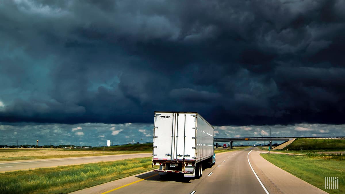
After dozens of severe wind and hail reports Wednesday in the Plains and Upper Midwest, some of the same places could get hit again today.
Heavy thunderstorms are rumbling across these regions this morning, with another round in the forecast beginning later this afternoon, triggered by a cold front. Truckers may be delayed for brief periods of time in places from northern Texas to Wisconsoin.

The previously mentioned cold front will increase instability in the atmosphere as cooler, denser air behind it forces warmer, humid, buoyant air ahead of it to rise. This rising motion, along with sharp lapse rates – quickly falling temperatures from the ground to the mid-atmosphere – will trigger thunderstorm development
Thunderstorms will be scattered from the Texas Panhandle to portions of the Dakotas, Iowa, Minnesota and Wisconsin. There could be just enough energy for some storms to become severe, producing dangerous wind gusts, sudden torrential rainfall and localized flash flooding. Tornadoes and large hail are not likely. Severe storms could begin as early as 2 p.m. CDT in some areas, with the threat fading overnight.
The National Weather Service (NWS) classifies a thunderstorm as severe if it produces any of the following based on radar or eyewitness reports:
• Winds of at least 58 mph (50 knots)
• Hail at least 1 inch in diameter
• A tornado
Even though the risk zone for severe storms is almost 1,000 miles long and 200 miles wide, potential impacts will not be widespread. The Storm Prediction Center (SPC), part of the NWS, says the overall risk is “marginal”, meaning severe storms will be isolated.
Some of the places that may see severe storms include, but are not limited to Amarillo, Texas; the Oklahoma Panhandle; Wichita, Kansas; Lincoln and Omaha, Nebraska; Des Moines, Iowa; Sioux Falls, South Dakota; Minneapolis and Duluth, Minnesota; and Eau Claire, Wisconsin.
These areas are in freight markets with fairly low outbound volumes. So there’s probably not a large number of drivers heading there to pick up loads, but rather they’re moving through these markets to get from the Midwest to the Northwest, or vice versa.

A separate system Wednesday could spark a few isolated severe thunderstorms from eastern North Carolina to southern Virginia. The risk is low, but not zero. There’s also potential for localized flash flooding.
Click here for more FreightWaves articles by Nick Austin.
