


A springtime winter-like storm will likely delay freight flows across several states through Friday.

A strong cold front will help spread snowfall and freezing rain across a fairly large area from Wyoming to the Dakotas, Nebraska, Minnesota and Iowa today through tonight, affecting cities such as Casper, Wyoming; Pierre and Sioux Falls, South Dakota; Bismarck, Fargo and Grand Forks, North Dakota; most of Minnesota, including some Minneapolis-St. Paul suburbs; Sioux City, Iowa; and Omaha, Nebraska.
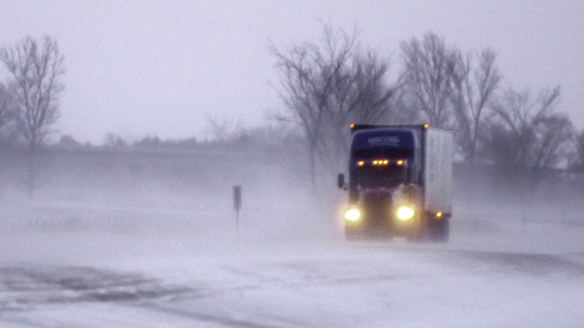
Many areas will see several inches of snow accumulation, possibly exceeding 6 inches, along with wind gusts of 35 to 45 mph. So blowing snow could produce reduced visibility and whiteout conditions at times on sections of the following interstate highways: 25, 29, 90 and 94.
In some areas, precipitation will start as freezing rain, resulting in ice build up of one- to two-tenths of an inch prior to transitioning to snowfall.
Tuesday night, the National Weather Service issued various winter weather alerts for places in the potential impact zone of the storm. For some areas, these alerts won’t expire until Friday afternoon or evening, after which the storm should fade.
Impact on freight
The impact zone of the Plains winter-like storm includes mostly minor freight markets with low outbound volumes. In other words, there isn’t much freight available for carriers to pick up there. However, there’s plenty of freight available in the Midwest region, which includes major markets such as Chicago, Joliet, Indianapolis and Columbus, and a good deal of that freight gets trucked to the Northwest.

The latest FreightWaves SONAR data, updated this morning, shows an upward trend regarding the amount of freight going from the Midwest region to the Northwest region. The outbound tender volume index (OTVI.URMWURNW), which moves in proportion to the total observable outbound tender volume, is more than 30% higher than a year ago, not even counting the recent spike since March 8 due to the COVID-19 outbreak. So this snow and ice could delay long-haul truckers trying to move loads from the Midwest to the Northwest.
Have a great day! Stay healthy and please be careful out there!
