


Storms will hit several regions of the U.S. this week, from the Northwest to the Northeast, as well as across the Gulf Coast. Shippers may have a hard time finding carriers who can accept reefer loads in certain areas due to tight capacity, and “protect from freeze” (PFF) procedures will be an imperative for carriers who can accept reefer loads.
Set up
Moderate to heavy snowfall will continue spreading across the Mountain Prairie region in parts of Utah, Wyoming, Colorado and northern New Mexico today, fading overnight as the storm moves into the Plains. The Salt Lake City and Denver metropolitan areas could easily pick up 5 to 10 inches through early tomorrow. Gusty winds in high elevations will result in blowing snow and reduced visibility in some areas, and drivers may run into delays on I-25, I-70 and I-80.

Temperatures will stay very cold across the region for the next few days, as shown in the FreightWaves SONAR map above. The FREEZE index is forecasting average daily temperatures well below 32 degrees across the Intermountain West, with low temperatures falling below zero. Drivers hauling reefer loads through these areas should be vigilant about their PFF procedures.
It’s also evident in the SONAR map directly below that carriers have been turning down a lot of outbound and inbound reefer loads from the Mountain Prairie region (ROTRI.URMP, RITRI.URMP) where the snow and bitter cold are developing. As temperatures drop, shippers who would normally ship freight in dry vans request more and more reefers to keep temperature-sensitive freight — such as cosmetics, chemicals, water and beer — from freezing. This is known as PFF. Reefers are climate-controlled trailers that allow drivers to set a desired temperature for the inside of the trailer.

Only 10-15% of trailers in the U.S. are reefers. Consequently, reefer capacity is tight at this time of year and carriers can’t accept as many reefer loads as they would like. Rejection rates above 10% — as is the case in this region right now — often drive spot rates above contract rates, an advantage for brokers who can secure any reefer loads for carriers.
The continuation
Residual energy tomorrow through Wednesday will regenerate heavy snowfall, along with sleet and freezing rain, from western Texas to southern Oklahoma. Snowfall totals will range anywhere from 3 to 10 inches along the I-20, I-35, I-40 and I-44 corridors, along with some sleet and freezing rain. Oklahoma City and Lubbock, Texas are on the fringe of the impact zone. It would only take a slight shift in the forecast to the north or south for these cities to be in the zone or completely out of it.

While a blizzard is not expected, these areas are not accustomed to major snowfall. Additionally, this will be a dramatic change from the current unseasonable warmth and lack of wintry weather so far this season.
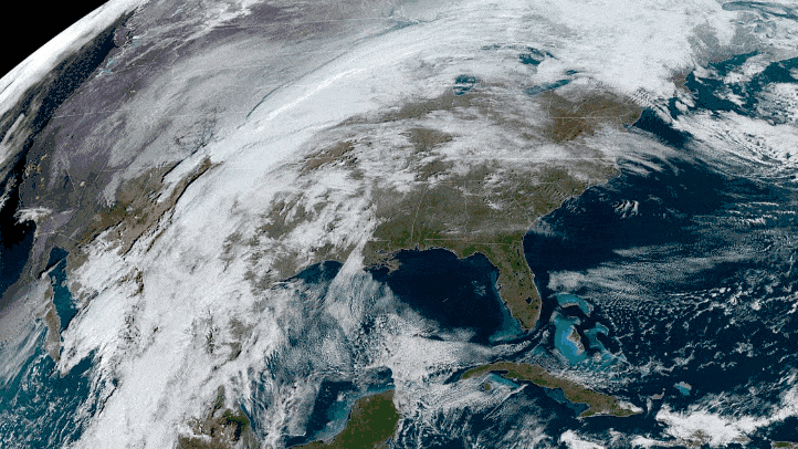
This storm will head to portions of the Midwest and Northeast later in the week, with the potential for significant ice buildup north of I-70 and along some portions of I-95 in New England.
Northwest
Starting tomorrow, periods of heavy mountain snowfall and rainfall at low elevations will return to the Northwest region, also known as the Pacific Northwest (PNW). An additional 1 to 3 feet of snow and several inches of rain could result in occasional delays for drivers on I-90 over Snoqualmie Pass and US-2 over Stevens Pass. Heavy rainfall could cause flooding in some areas.


The PNW is typically a backhaul region for much of the year, meaning there’s more freight entering than leaving. The PNW includes the Pendleton market which, interestingly, has seen a 151% increase in outbound reefer volume (ROTVI.PDT) compared to a year ago. This is 16 times the average national reefer outbound volume increase for the same time period (ROTVI.USA).
What’s also unusual is that outbound reefer rejections in Pendleton (ROTRI.PDT) are much lower than a year ago. Higher volume usually leads to higher rejections since carriers may not be able to fulfill all the demand. It’s not clear what has caused these shifts in Pendleton, but one thing is fairly clear: Carriers may be able to find reefer loads in there, but they should keep in mind that drivers could be delayed at times by harsh weather.
Additional notes
Afternoon and evening thunderstorms could produce quick downpours from southwestern Texas to Dallas, Little Rock, and Springfield, Missouri. A few spots of localized flash flooding or severe winds are possible.
There’s a better chance of storms producing severe winds, large hail and possibly isolated tornadoes on Tuesday and Wednesday across the Deep South and Gulf Coast. This includes places from eastern Texas and Shreveport to Little Rock, Memphis, Jackson (Mississippi), New Orleans, Mobile, Birmingham and Tallahassee.
High winds will make deadheading and hauling light loads risky in southern California, the Las Vegas metropolitan area, and northern Arizona. Gusts could reach 60 to 70 mph, with isolated speeds of 70 mph or greater. This also includes portions of the Los Angeles, San Diego and Phoenix areas.
Have a great day, and be careful out there!