


The last weekend of May will be a bit dicey for truckers in parts of the Northeast and Northwest as the weather turns quite stormy.

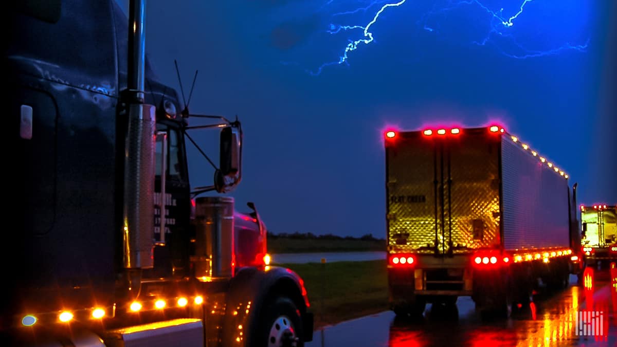
A strong cold front will move through the eastern United States later today, triggering thunderstorms from the Great Lakes to the Northeast. Some storms could become severe late this afternoon and evening from West Virginia and northern Virginia all the way to upstate portions of New York and Vermont.
These severe storms could produce scattered areas of large hail and intense wind gusts, as well as localized flash flooding and isolated tornadoes.
The National Weather Service (NWS) considers a storm severe if it produce any of the following based on radar data or an observation from the field:
• Winds of at least 58 mph
• Hail at least 1 inch in diameter
• A tornado
Severe weather could hit places such as Charlottesville, Virgina; Morgantown, West Virginia; Baltimore, Mayland; Washington, D.C.; most of Pennsylvania; most of upstate New York, including Albany, Buffalo and Rochester; and Montpelier, Vermont.
Severe weather may delay drivers heading to the key freight markets of Harrisburg and Allentown, Pennsylvania to pick up loads.

The latest FreightWaves data, updated this morning, shows these two markets are in the top 10 for outbound volume. In other words, there is a large amount of freight available that has been offered by shippers.
Harrisburg and Allentown rank fourth and eighth, respectively, in terms of their Outbound Tender Market Share (OTMS). Combined, they account for almost 5.5% of the nation’s outbound freight. Drivers heading to these areas should expect mostly minor/short-term delays due to the potential for severe thunderstorms and roadblocks.
Other weekend weather
Crosswinds in southern California will become hazardous Friday and Saturday. Gusts will reach 45 to 50 mph along sections of Interstate 5 and State Route 99 from Fresno to Bakersfield. Drivers deadheading or carrying light loads should be extra careful.

Heavy rain will soak parts of the I-5 corridor from northern California to Seattle from late Friday night through Saturday. Severe thunderstorms will hit areas of Oregon and Washington, mostly east of I-5, affecting areas along I-82, I-84 and I-90. Light to moderate rainfall will continue Sunday, with areas of freezing rain and snowfall possible in the Cascades as cold air enters the mid-levels of the storm system.
Have a great day! Please stay healthy and be careful out there!