


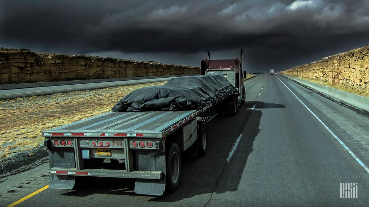
Thunderstorms will rumble across the nation’s heartland again this week, possibly in places that were hit over the weekend.
Freight regions. (Source: FreightWaves)

The National Weather Service (NWS) received more than 700 reports of severe weather Saturday and Sunday, combined. Eight of those reports were tornadoes, and a large number of the storms hit states in the Mountain Prairie and Midwest freight regions. Many of the same states will be under the gun again for the next few days.
Monday
A slow-moving frontal boundary, along with plenty of warmth and humidity, will trigger severe storms Monday from Denver to Fargo and Minneapolis.
All modes of severe weather are possible – destructive straight-line winds, large hail and tornadoes. Straight-line winds will be the biggest issue for truckers, with gusts reaching 75 mph in spots from eastern Colorado to southern and central Nebraska, as well as western Kansas. Gusts could be as strong as 60 to 70 mph in other areas like Denver, Colorado; the Oklahoma Panhandle; Omaha, Nebraska; Sioux Falls, South Dakota; Fargo, North Dakota; and Minneapolis, Minnesota.
Hail the size of golf balls or larger could pound many of these areas, or spots in between, and isolated tornadoes will touch down.
The NWS classifies a thunderstorm as severe if it produces any of the following based on radar or eyewitness reports:
• Winds of at least 58 mph (50 knots).
• Hail at least 1 inch in diameter (quarter size).
• A tornado.
Severe storm could also hit parts of the East Coast Monday, from New England to the Carolinas.
Tuesday
Severe storms will threaten many of the same areas as Monday, with the addition of portions of Wisconsin, the Texas Panhandle and eastern New Mexico.

Wednesday
For now, it looks like the overall risk of severe storms will back off a bit for Wednesday, but they will pop up in isolated spots from Denver and Pueblo, Colorado to the busy Joliet, Illinois market (near Chicago).
Drivers may also run into periods of torrential rainfall, with the chance of flash flooding and road/ramp closures.
Click here for more FreightWaves articles by Nick Austin.