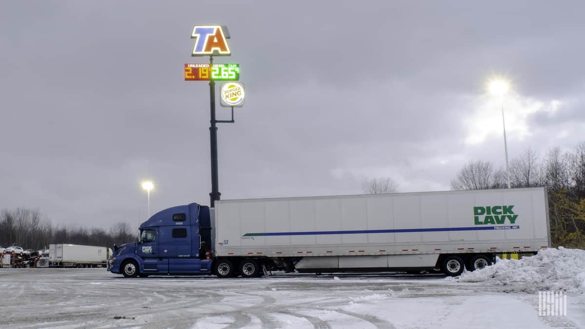
A strong winter storm will likely slow down supply chains, freight movement and business operations this week across several states. The highest impacts will hit the nation’s heartland the rest of this week, heading into 2021.
The combination of snow, ice and gusty winds will cause mostly moderate to locally major disruptions to surface and air transportation from the Central Plains to portions of the Great Lakes. Major cities within the potential impact zone include Kansas City, Missouri; Omaha, Nebraska; Des Moines, Iowa; and Milwaukee and Green Bay, Wisconsin. Major interstates within this zone include I-80, I-90, I-35, I-39 and I-43.
A mixture of snow and ice has developed across the Plains. The low pressure system producing the adverse weather will slowly drag across the central U.S. Tuesday and Wednesday. Ice buildup of one- to two-tenths of an inch is possible, especially in the southern half of the potential impact zone within Nebraska, Kansas, northern Missouri and northwestern Illinois.
Snow accumulations will be in the range of 3 to 9 inches, depending on exact location, with localized areas of 12-plus inches.
The highest snow totals are expected in Iowa, northwest Illinois and southern Wisconsin. Stronger winds — gusts ranging from 30 to 40 mph — will cause significant blowing snow and occasional whiteout conditions. Additionally, power outages are possible in areas that see ice and/or the strongest winds.
The threat of intense winter weather will linger Thursday into New Year’s Day, from the southern Plains to parts of the Midwest. Some places may be hit for a second time after the Tuesday-Wednesday round.
There’s a good chance that heavy snowfall, gusty winds and icy roads will delay drivers in major cities such as Dallas-Fort Worth and Austin, Texas; Oklahoma City; Kansas City; Omaha; Des Moines; as well as Green Bay. Major interstates in the potential impact zone are I-10, I-20, I-35, I-40, I-70, I-80 and I-90.
As of Tuesday morning’s outlook, ice accumulations up to a few tenths of an inch are possible in some spots, with snow accumulations of up to 12 inches. But there’s still some uncertainty in the forecast. Look for updates on the FreightWaves website and social media accounts.
Other areas of snowfall
Look for periods of moderate to heavy snowfall Tuesday through this weekend across the Cascades and Rockies. Truckers may have issues in the usual trouble spots like Snoqualmie, Stevens and Lookout passes, as well as many other mountain roads.
Other notable New Year’s weather
Thunderstorms could produce tornadoes and severe straight-line winds Thursday and New Year’s Day across the Deep South. Places in the potential line of fire include Houston; New Orleans; Jackson, Mississippi; in addition to Mobile and Birmingham, Alabama.


