


A disturbance known as Invest 98L could soon become the next tropical storm in an already busy Atlantic season.
The tropical wave — an elongated area of low pressure that moves from east to west across the tropics — is churning in the eastern Atlantic, about 1,000 miles east of the Leeward Islands, which are in the Caribbean.
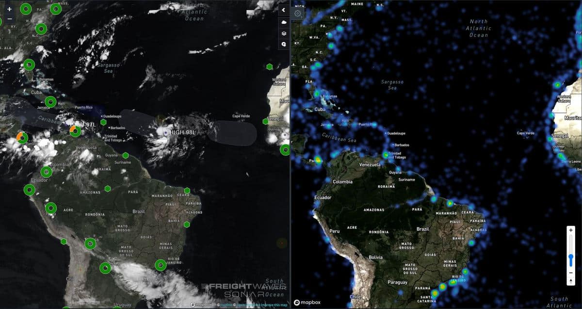
The wave continues to produce a concentrated area of showers and thunderstorms mainly on the west side of the disturbance. Atmospheric and oceanic conditions are conducive for further development. In other words, wind shear — changes in wind speed and direction with altitude — is weak and sea surface temperatures (SSTs) are above normal.
National Hurricane Center (NHC) forecasters expect the wave to organize into a tropical depression over the next day or two as the system moves to the west-northwestward at 15 to 20 mph across the tropical Atlantic. They peg the chance of this happening at 90%. This weekend or sometime next week that depression could become the next tropical storm, possibly hitting some Caribbean islands.
The window of potential impacts would be from Friday for the farthest east islands (Antigua, Barbuda, St. Kitts and Anguilla) to Saturday for the Virgin Islands and Puerto Rico. There is currently large uncertainty in the magnitude of wind and rain impacts since the tropical storm has not yet formed. Once it develops, details concerning impacts and location will become more clear each day.
Another tropical wave is located over the eastern Caribbean Sea, producing disorganized showers and thunderstorms and gusty winds. Significant development of this
system is unlikely during the next day or two while it moves westward at about 20 mph across the eastern and central Caribbean Sea. After that time, however, the NHC gives it an 80% chance of becoming a tropical depression this weekend by the time the system reaches the northwestern Caribbean Sea.
The 2020 Atlantic hurricane season is above average in several ways, and it’s only mid-August.. Eleven named storms have formed through Tuesday (30-year average is three), two hurricanes have formed (average is one) and accumulated cyclone energy (ACE) is up to 26 (average is 14). ACE is a measure of the combined intensity and duration of Atlantic named storms and hurricanes in each season.
Officially, the Atlantic season starts on June 1 and runs through the end of November, but some named storms this season developed before June 1. Sometimes, named storms also develop after Nov. 30. Based on climatology, around 75% of the 2020 season remains, and many more named storms and hurricanes could impact the mainland United States and the Caribbean.
