


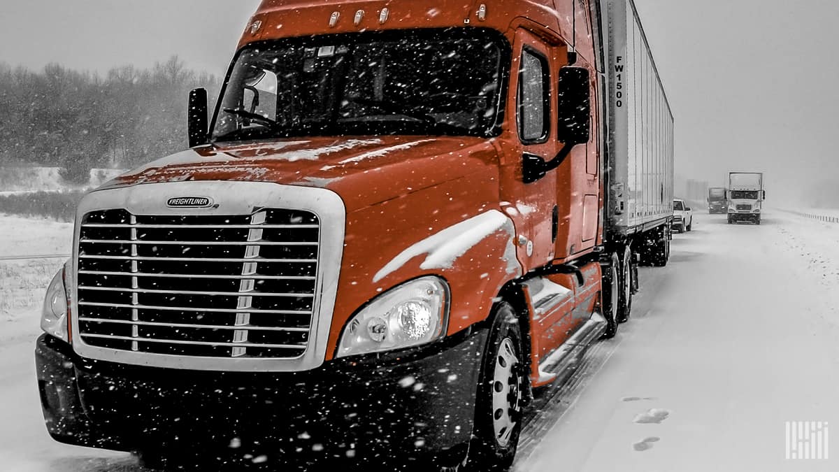
Several rounds of wintry weather could slow down truckers the rest of this week from the northern Rockies to the Great Lakes. The National Weather Service (NWS) is expecting the worst conditions late Wednesday through Friday.
Some areas have already seen light snowfall accumulations of 3 inches or less this week. But Monday’s 1.4 inches in Glasgow, Montana, was a daily record for that city.

A series of fronts will move across the region, one of which is producing snow, sleet and freezing rain as of Tuesday morning.
From north-central to south-central Montana, snowfall will be heaviest from Wednesday afternoon to Thursday. More than 10 inches could pile up in some high elevations, along with windy conditions and blowing snow.
Then, this system will produce a swath of moderate snowfall from eastern portions of Montana and Wyoming to Minnesota, northern Wisconsin, Michigan’s Upper Peninsula and parts of central Ontario, Canada.
Snowfall totals of up to 10 inches are possible in some locations — a substantial amount for an early season storm. Wind gusts of 35 mph or higher will lead to blowing snow and reduced visibility. Timing of impacts should be midnight to midafternoon Thursday across the western portion of the target zone, and midafternoon Thursday to around sunrise Friday across the eastern portion.
Interstate highways where drivers could hit potential road closures include Interstates 15, 25, 29, 80, 90 and 94. Some bridges and overpasses may become especially slick for drivers heading through places like Great Falls, Helena and Billings, Montana; Sheridan and Gillette, Wyoming; Bismarck and Fargo, North Dakota; Pierre and Rapid City, South Dakota; Minneapolis-St. Paul; Eau Claire, Wisconsin; as well as Marquette, Michigan.