


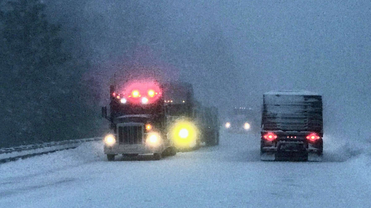
Truckers will hit a nasty early season snowstorm this weekend if they can’t reroute around the Northwest and Midwest. Drivers who decide to risk it will need to chain up. Besides heavy precipitation, periods of blizzard conditions in some areas will make driving nearly impossible.
Outlook
A strong cold front will crash into the Pacific Northwest on Friday, heading to the northern Rockies, northern Plains and Upper Midwest throughout the weekend.
The storm will dump at least 12 inches of snowfall in the high elevations of the Washington and Oregon Cascades, as well as the northern Rockies of Idaho and Montana. Wind gusts could reach 35 to 50 mph in some spots, creating blowing snow and periods of whiteout conditions.
Mountain passes such as Lookout and Snoqualmie (I-90), Stevens (U.S. Highway 2), as well as many others will be especially treacherous. Highway officials may close sections of these and other roads, like Interstates 15, 29, 35 and 94, if they become impassable.
Some of the foothills across the Cascades and northern Rockies could see up to 8 or 9 inches of snowfall, while places below 2,000 feet, like Spokane, Washington, will probably get 3 inches or less.
Saturday through Sunday, several inches of snowfall could blanket parts of the Dakotas, Minnesota, Nebraska, Iowa and Wisconsin. Some places in this region have been slammed with daily record snowfall this week, including the following cities Thursday (in inches):
• Aberdeen, South Dakota, 7.2
• Duluth, Minnesota 4.1
• Fargo, North Dakota, 2.7
• Bismarck, North Dakota, 2.2
Silver lining
This storm should move into Colorado Sunday. Hopefully the moisture will help crews gain control of large wildfires in and near the Rockies. This includes the East Troublesome Fire, which has forced a shutdown of Rocky Mountain National Park.
Impact on freight
Freight markets in the potential impact zone include Missoula, Billings, Bismarck, Twin Falls, Spokane, Pendleton, Denver, North Platte Omaha, Des Moines, Rapid City, Sioux Falls, Minneapolis, St. Cloud and Duluth. These are mostly “backhaul” markets, meaning they have more inbound volumes than outbound, leading to loose capacity.
This is evident in the FreightWaves Headhaul Index map below. This index measures the difference between outbound and inbound tender volumes. Markets in red/pink indicate higher inbound volumes (backhaul), while markets in blue/purple indicate higher outbound volumes.

So drivers heading to these markets in the snowstorm’s path are mostly dropping off. They will likely be deadheading — driving an empty trailer — to go where the freight is in other Midwest markets or even Southern California. However, if they can’t get out in time, they may get stuck in the storm.
