


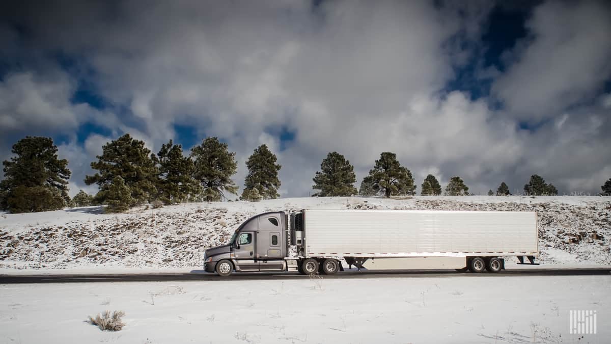
Truckers will have to chain up the next few days as heavy snowfall and high winds hit the Northwest. Volumes of refrigerated freight are elevated in some of this region’s markets. Hopefully reefer drivers can get in and out before the storm arrives or else they will have to wait until next week if shippers can extend their lead times.
A strong cold front, plus abundant moisture off the Pacific, will produce up to 24 inches of snowfall in parts of the Washington and Oregon Cascades from Thursday afternoon through Friday night. In some spots, wind gusts will reach 50 to 70 mph, causing blowing snow, occasional whiteout conditions and potential road closures.
Truckers may have a tough time going over Snoqualmie Pass (Interstate 90), Stevens Pass (U.S. Highway 2) and the North Cascades Highway. Roads will also be dangerous around the Mount Baker Ski Area, Mount Rainier, Mount St. Helens, Crater Lake and Diamond Lake. The National Weather Service (NWS) has issued various winter weather alerts across the region.
Parts of the Pendleton and Twin Falls markets are in the path of this snowstorm. FreightWaves SONAR shows these markets each have a high Reefer Outbound Tender Volume Index (ROTVI). This means a lot of shippers are offering loads of temperature-controlled freight for carriers to pick up there. However, the storm will delay truckers arriving there Thursday if they can’t leave before the storm intensifies.

While snowfall slams the mountains, rain and damaging winds will hit some lowland and coastal areas of Washington and Oregon. This could impact drivers on sections of I-5 and U.S. Highway 101.
As the snow fades Saturday in the Cascades, it will move into the Rockies of Idaho, Montana, Wyoming and Colorado through the rest of the weekend, in addition to the Wasatch Range in Utah, which includes another high-volume reefer market — Salt Lake City. Trouble spots may develop on I-70 and I-80.