


April is starting on a snowy note for truckers across the interior northeastern U.S. and southeastern Canada.
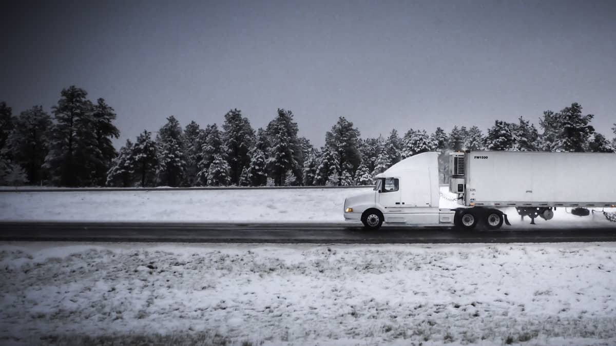
Cold air and a strengthening late-season storm system began changing rainfall to snowfall Wednesday night across the region, and the storm will last through Thursday. Look for possible temporary disruptions to supply chains and freight flows due to accumulating snowfall and gusty winds.
The forecast has only changed slightly since FreightWaves first reported on the potential storm Wednesday. The western extent of the snow will still be across eastern Ohio and parts of West Virginia. The impact zone will then continue northward through central Pennsylvania, upstate New York and Vermont, as well as much of southeastern Canada. However, the storm track is shifting a bit east of the original forecast, so places like Pittsburgh and Montreal will see minimal effects.
The highest snowfall totals will be from north-central Pennsylvania to northern Vermont. Accumulations of 2 to 5 inches are likely in places such as Binghamton, Plattsburgh, Utica, Oneida, Lowville and Mohawk, New York. Totals of 3 to 7 inches could pile up in Saranac Lake and Lake Placid, New York, as well as northern Vermont. A few isolated spots may receive as much as 8 to 10 inches.
The cities of Montreal and Quebec, Canada, will probably see 1 to 3 inches of snowfall, with higher amounts possible in some outlying areas.
Winds will be gusty at times, ranging from 30 to 40 mph, producing periods of reduced visibility and potential whiteout conditions. Overall, this will be a minor event. However, areas that pick up the heaviest snowfall may see increased delays in surface and air transportation, as well as at intermodal hubs.
Major highways in the zone include interstates 70, 76, 80, 81, 87 and 90, in addition to the Trans-Canada Highway.
Look for weather updates throughout the week on the FreightWaves website and social media accounts.
Click here for more FreightWaves articles by Nick Austin.
You might also like:
5 trucker-friendly roadside attractions
Sandstorm, winds blamed for container ship fiasco in Suez Canal
