Truckers in the South should stay very weather aware Thursday. An outbreak of severe storms and tornadoes is likely during the afternoon and evening, impacting travel in many states.
A strong low-pressure system and connected frontal boundaries will trigger severe thunderstorms across the Tennessee, Ohio and lower Mississippi valleys. The atmosphere could become very unstable, producing tornadoes, destructive straight-line winds and very large hail.
The worst storms could hit places in the Missouri Bootheel, eastern Arkansas, northeastern Louisiana, southern portions of Illinois, Indiana and Kentucky, western and central Tennessee, as well as the northern two-thirds of Mississippi and Alabama. This includes Jonesboro, Arkansas; Poplar Bluff and Cape Girardeau, Missouri; Paducah and Louisville, Kentucky; Evansville, Indiana; Memphis, Nashville and Chattanooga, Tennessee; Huntsville, Birmingham and Montgomery, Alabama; in addition to Jackson, Tupelo and Columbus, Mississippi.
Meteorologists at the Storm Prediction Center (SPC) have issued either a high or moderate risk of severe storms for these areas. This means they expect severe weather to be fairly widespread. Thunderstorms could produce winds gusts of 75 mph, hail the size of golf balls or larger and tornadoes that may be strong and that could stay on the ground for long periods of time (long-track tornadoes).
The SPC rarely issues a high risk for severe storms, but it posted one in parts of the South for St. Patrick’s Day last week. The SPC received more than 60 reports of tornadoes that day. This next outbreak could produce a similar or worse result.
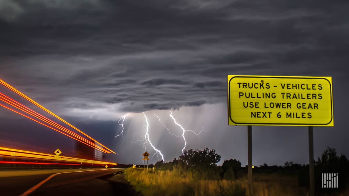
Another threat will be torrential rainfall in many places. This will reduce visibility and may stop truckers in their tracks at times. Flash flooding could lead to ramp and road closures. The storms will also produce a lot of dangerous cloud-to-ground lightning.
Related: 5 things truckers should know about severe storms
In addition to delaying ground transportation, the storms could delay air cargo, as well as the loading and unloading of cargo at ports.
As the system moves east overnight into Friday, the risk for severe storms should dramatically decrease. However, thunderstorms and heavy rain could return to parts of the South over the weekend.
Drivers should make sure their cellphones and other mobile devices are fully charged and set up to receive weather alerts based on GPS. This can be done in the settings so truckers will receive alerts no matter where they go.
Look for weather updates throughout the week on the FreightWaves website and social media accounts.
Click here for more FreightWaves articles by Nick Austin.


