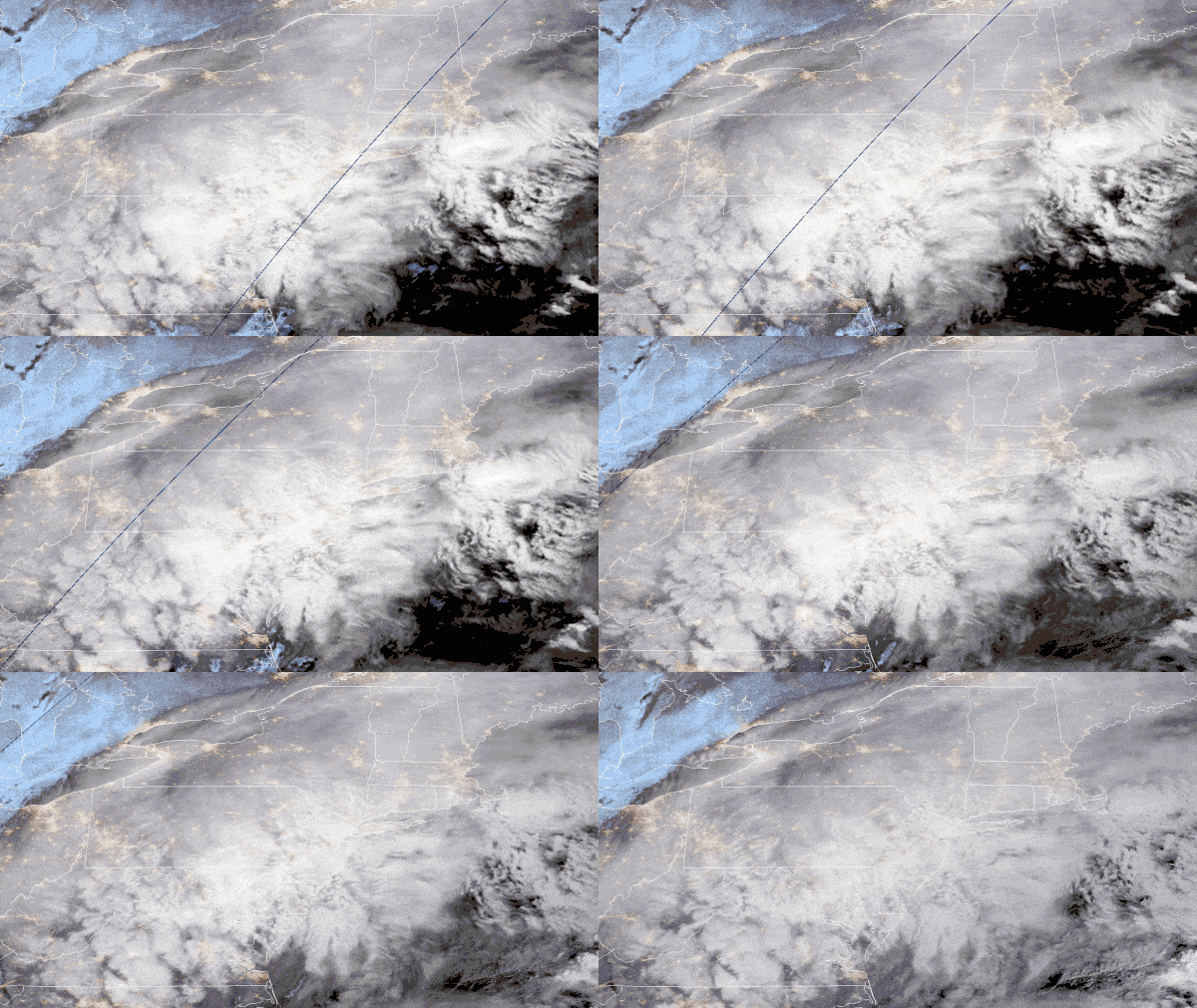
A disruptive snowstorm will likely impact surface and air transportation in the Northeast later this week. This includes major population centers along the Interstate 95 corridor, as well as a few high-volume freight markets.
The latest computer guidance models are still showing a major winter storm, by mid-December standards, impacting the region Wednesday through Thursday morning. Heavy snowfall, strong winds, coastal erosion and high seas will be the result of this rapidly intensifying storm system. All indications point to this becoming one of the most impactful December storms in recent Northeast winters.
Look for widespread snowfall accumulations of 6 to 12 inches from Washington and Baltimore to Philadelphia, New York City, Hartford, Connecticut, Providence, Rhode Island, and Boston. Some locations just west of I-95 may get up to 18 inches.
Winds will also be a major issue as the storm intensifies, with blowing and drifting snow reducing visibility at times. Winds will also slow down operations at ports and oil energy facilities, as well as in offshore shipping lanes.
Prior to the storm’s arrival, any changes will likely involve slight shifts north or south of the heaviest snow band. Changes in the track of the storm will determine the precise location of the heaviest snow totals, but there is little debate at this point as to whether this will be a major storm for a significant portion of the Northeast.
This storm will affect tens of millions of people and some of the most important supply chain hubs in the nation. Besides I-95, other major interstates within the risk zone that will experience delays include I-90, I-80, I-70, I-64, I-81, I-77, I-76, I-79, I-87, I-91, I-86, I-84, I-89 and I-93. Road closures and power outages are likely.
Norfolk Southern (NYSE: NSC) and CSX (NYSE: CSX) are the primary rail carriers within the potential impact zone, and air cargo will be affected due to probable fight delays and cancellations at several airports.
SONAR ticker: OTVI; Radar forecast for 1 p.m. EST, Monday, Dec. 14, 2020
The map above shows the FreightWaves SONAR Outbound Tender Volume Index (OTVI), an index value that moves in proportion to the total observable level of outbound loads being offered by shippers to carriers. It’s a seven-day moving average.
Freight markets that are dark blue indicate where the most freight is available, including possible shipments of the COVID-19 vaccine. The Harrisburg and Allentown, Pennsylvania, markets, as well as the Elizabeth, New Jersey, market (circled in red on the map), are in the path of the impending winter storm. Drivers heading to these areas will need to be out by Wednesday afternoon when the storm gets cranking. Otherwise, the vaccine shipments risk being delayed.


