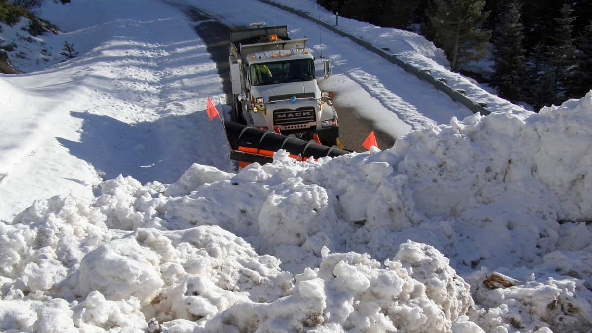
A potent late season storm is about to dump heavy snowfall in parts of the Rocky Mountains, possibly delaying freight flows on several interstate highways.
A cold front will blast through the region tonight and Wednesday, producing 10 to 15 inches of snowfall in the highest elevations of northern Idaho, western Montana along the Continental Divide, and into Wyoming. Many other areas will see 5 to 10 inches, and gusty winds may cause blowing snow and occasional whiteout conditions.
The National Weather Service (NWS) has issued various winter weather alerts across the region, and they could post additional alerts throughout today. Drivers will likely run into delays on I-15, I-25, and I-90 in places such as Great Falls, Helena, Butte and Bozeman, Montana; West Yellowstone National Park and Cheyenne, Wyoming. Heavy snowfall may also hit I-80 in the Wasatch Mountains around Salt Lake City.
According to the National Hydrologic Remote Sensing Center, the northern and central Rockies are currently covered in more snowpack than this time last year, and most areas have higher snow depths, too.
Impact on freight
This impending snowstorm will affect two fairly high-volume freight markets out west – Salt Lake City and Denver which includes southeastern Wyoming. The parts of these markets in the storm’s potential impact zone are circled in red in the Freight SONAR map below.
The map shows the outbound tender volume index for each of the 135 markets. Markets shaded in dark blue have the most outbound freight available for carriers, the white-shaded markets have the least. Denver and Salt Lake City fall in between, but rank fairly high at 14th and 18th, respectively. Denver accounts for about 1.7% of the nation’s outbound freight; 1.6% for Salt Lake City.
So there’s a decent amount of loads that carriers could book in these two markets. But if they decide to send drivers there before Thursday, April 16, they may run into delays.
Have a great day! Please stay healthy and be careful out there!


