




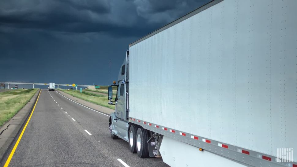
After severe storms pounded parts of the Plains and Midwest with large hail and hurricane force winds over the past two days, Mother Nature will remain restless in these regions this week.
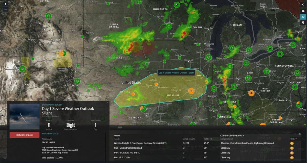
The National Weather Service (NWS) received 231 reports of wind damage and severe hail across the Plains and Midwest over the weekend. In some areas, gusts exceeded 74 mph (hurricane strength), and hail was nearly baseball size.
Severe storms continue this morning from South Dakota to Iowa and Wisconsin, heading southward throughout the day as a cold front moves through the area.
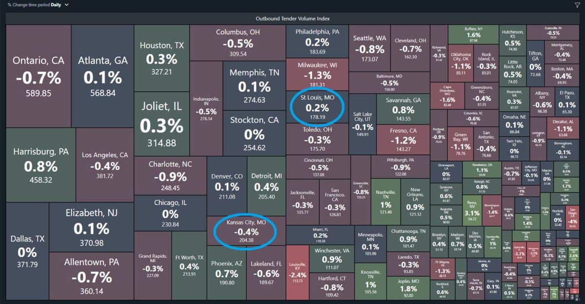
The main threat for severe storms this afternoon and evening will stretch from just south of Chicago to St. Louis and Kansas City, two of the top 25 freight markets in the country regarding levels of Outbound Tender Volumes (OTVI).
The severe weather threat also includes places such as Wichita and Topeka, Kansas; Jefferson City and Columbia, Missouri; as well as Quincy and Peoria, Illinois, affecting sections of the Interstate 29, 35 and 70 corridors.
Tornadoes are not likely, but drivers will run into spots of dangerous winds and large hail as many storms could become severe.
The NWS classifies a thunderstorm as severe if it produces any of the following based on radar, eyewitness reports or weather station measurements:
• Winds of at least 58 mph (50 knots).
• Hail at least 1 inch in diameter (quarter size).
• A tornado.
The severe weather risk for Tuesday diminishes, but won’t disappear. Isolated severe storms could pop up from Cheyenne, Wyoming to western Nebraska, eastern Colorado (including Denver), northeastern New Mexico, in addition to the Texas and Oklahoma panhandles.
On Wednesday, the threat shifts back to the northern and central Plains, from parts of North Dakota to Kansas.
Other notable weather this week
A trough of low pressure may stall across portions of the Northeast and Southeast Thursday and Friday, leading to periods of excessive rainfall. Flooding will be possible in areas from the mid-Atlantic to Florida and the southern Appalachians.
Brokerage Compliance Symposium
The day before F3. Every compliance issue you face - fraud exposure, carrier liability, FMCSA rules, cargo theft, insurance gaps - navigated by attorneys and operators defining best practices in a changing industry.
F3 Awards Dinner
The night before F3. FreightTech100 companies honored. FreightTech 25 and Shipper of Choice winners revealed live. Cocktail reception into dinner and live music - 300 industry leaders in one purpose-built room.
F3: Future of Freight Festival
Industry-defining keynotes, rapid-fire technology demos, and industry leaders networking in experiences across Chattanooga - plus the inaugural F3 Awards Dinner featuring the FreightTech and Shipper of Choice reveals.
The day before F3. Every compliance issue you face - fraud exposure, carrier liability, FMCSA rules, cargo theft, insurance gaps - navigated by attorneys and operators defining best practices in a changing industry.
The Signal at Chattanooga Choo Choo • Chattanooga, TN Register NowThe night before F3. FreightTech100 companies honored. FreightTech 25 and Shipper of Choice winners revealed live. Cocktail reception into dinner and live music - 300 industry leaders in one purpose-built room.
The Signal at Chattanooga Choo Choo • Chattanooga, TN Register NowIndustry-defining keynotes, rapid-fire technology demos, and industry leaders networking in experiences across Chattanooga - plus the inaugural F3 Awards Dinner featuring the FreightTech and Shipper of Choice reveals.
The Signal at Chattanooga Choo Choo • Chattanooga, TN Register Now