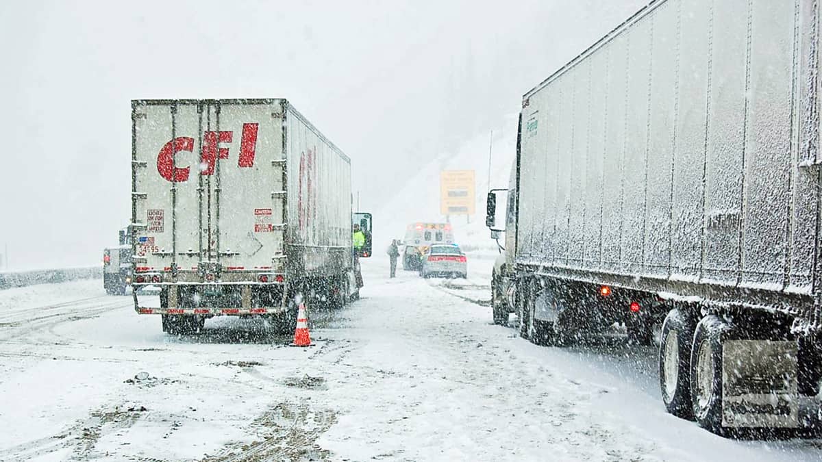
Truckers will hit heavy mountain snowfall out West all week long as a series of storms slams the region. They, along with fleet managers and shippers, should expect periodic delays in freight flows and supply chains.
These storm systems will impact many areas hit by accumulating snowfall last week. Travel will be treacherous at times over mountain passes in the Cascades, Sierra Nevada, Rockies, Wasatch and some high elevations in Utah and Arizona. Some snow could even reach the lower elevations outside of Los Angeles and San Diego. One of those more localized higher impact areas includes Interstate 80 in the Sierras, where several feet of snow is forecast from the combination of these storms.
The first system this week will produce snowfall in many of the previously mentioned areas Monday and Tuesday, fading Tuesday evening. A stronger second storm is projected to hit Wednesday through Friday, producing another round of heavy snowfall, primarily in higher elevations. This system will also kick up the winds, leading to blowing snow and whiteout conditions in some spots.
By the time it’s said and done, snowfall totals by the end of the week at higher elevations could reach 6 feet, with up to 12 inches in some lower slopes. These storms will slow down interstate travel, as well as drivers on countless U.S. and state highways and local roads.
Meanwhile, heavy rain in many lower elevations could lead to localized flooding and possibly mudslides. Rainfall totals could top out at 5 inches in some spots, with isolated amounts of 6 to 10 inches across parts of California, Oregon and the Southwest.
Other notable weather
Freezing rain and heavy snowfall will continue to spread across portions of the Plains and Midwest on Monday. This storm began Sunday night and will likely dump up to 12 inches of snowfall in some places through Monday night, in addition to a quarter-inch of ice buildup.
Some of the biggest cities in the impact zone include Wichita and Topeka, Kansas; Kansas City, Missouri; Omaha, Nebraska; Des Moines and Davenport, Iowa; Chicago; Milwaukee; Fort Wayne and South Bend, Indiana; as well as Grand Rapids and Lansing, Michigan. Drivers will have issues on several major interstate highways, including I-29, I-35, I-55, I-70, I-80 and I-90.
Wind gusts above 30 mph could cause significant blowing and drifting snow, leading to reduced visibility and periods of possible whiteout conditions. There’s also a higher risk of power outages and roadblocks in areas of ice accumulation.


