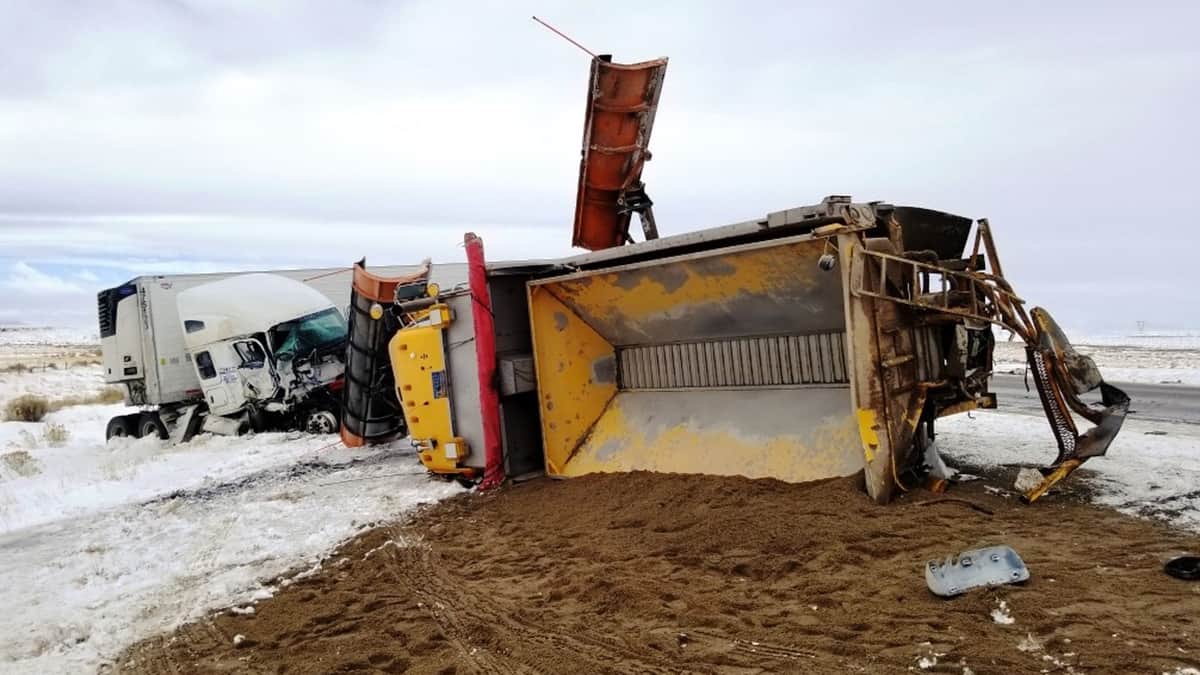
A snow storm will likely delay freight flows between the Midwest and Northwest regions beginning tonight.
As heavy snowfall fades across the mountains of the Pacific Northwest, another wave of energy will crank up across parts of the Plains and spread to the Upper Midwest from tonight through early Friday.
Heavy snowfall, as well as sleet and freezing rain, will develop from Wyoming to North and South Dakota, western Nebraska and western Minnesota as the jet stream pushes a strong cold front across the region.
Last night, the National Weather Service issued various winter weather alerts for areas in the potential impact zone. Three to six inches of total snowfall could pile up in many places from Casper, Wyoming to Pierre and Sioux Falls, South Dakota; Fargo and Grand Forks, North Dakota; and Fergus Falls, Minnesota. Besides snow, some areas could see one-tenth to one-quarter inch of ice accumulation, making conditions that much more dangerous, especially on bridges, overpasses and secondary roads. Interstates highway most at risk are 25, 29, 90 and 94.
Impact on freight
In terms of outbound volumes, the storm will hit minor freight markets, which is evident in the latest FreightWaves SONAR data. The map below shows the outbound tender volume indices (OTVI) for each of the nation’s 135 freight markets. This index moves in proportion to the total observable outbound tender volume.
On the map, markets in the impending storm’s impact zone (outlined in red) are shaded in white, indicating very low levels of available outbound freight. So, to a certain extent, one might think that the snow storm would have minimal effects on freight flows since carriers won’t be going to these areas to pick up loads.
But the Midwest contains several major markets like Chicago, Joliet and Columbus (circled in yellow). These markets have large amounts of freight for carriers, and a fairly large amount of Midwest freight gets trucked to the Pacific Northwest (PNW). So drivers hauling loads from the large Midwest markets to the PNW will run into delays, unless they can take a more southerly route or wait until early next week to drop off their loads (many receivers are closed on weekends).
Have a great day! Please stay healthy and be careful out there!


