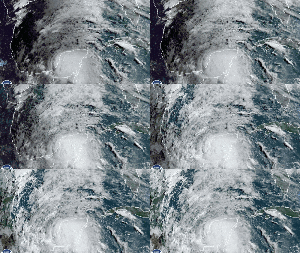
The Atlantic hurricane season officially starts today, June 1, and a storm may be on its way to the United States by the end of the week.
The remnants of Tropical Storm Amanda, which formed in the eastern Pacific last week, began moving across Central America over the weekend. It made landfall in Guatemala early Sunday morning, May 31, and the remnants of Amanda will meander across portions of Central America during the remainder of this week, particularly Guatemala, El Salvador, southern Mexico and southern/western sections of Honduras.
Amanda’s circulation is very large and will sit and rotate over this region for a period of three to five days. When all is said and done, rainfall amounts could be as much as 6 to 12 inches, with some areas receiving 15 inches or more. This will cause major flooding in areas of Central America, including the highly vulnerable mountainous where mudslides and landslides are possible.
Disruptions in transportation (road, air, rail and shipping) will likely be severe in the impacted areas. Disruptions in the hardest hit flooded areas could be long-term – weeks if not months – as infrastructure becomes compromised.
Major cities in the impact zone include Guatemala City and San Salvador; ports include Puerto Quetzal, Acajutla and Veracruz.
Eventually, steering winds in the upper atmosphere will probably push this system into the Bay of Campeche in the southern Gulf of Mexico. The National Hurricane Center (NHC), as of this morning, puts the odds at 80%. Numerous computer models indicate that this system will develop into a tropical storm.
This would be the third named storm of the 2020 Atlantic season and be named Cristobal. Even though the storm started in the eastern Pacific, it is assigned an Atlantic name after moving into the Atlantic basin (Gulf of Mexico, Caribbean Sea, Atlantic Ocean). The first two tropical storms this year, Arthur and Berta, formed last month before the official start of the season. Based on official records since 1851, the third named storm of the Atlantic season has never formed before June 5. This system could become the first to do so.

In a situation like this, it’s too early to confidently forecast details such as intensity and track, as well as when and where landfall may be. At this point, it looks like there’s potential for flooding and minor wind damage, at minimum, in parts of the northern Gulf Coast, from Texas to Florida. With each passing day this week, details should become clearer. Look for updates on the FreightWaves website and social media accounts.
Have a great day! Please stay healthy and be careful out there!


