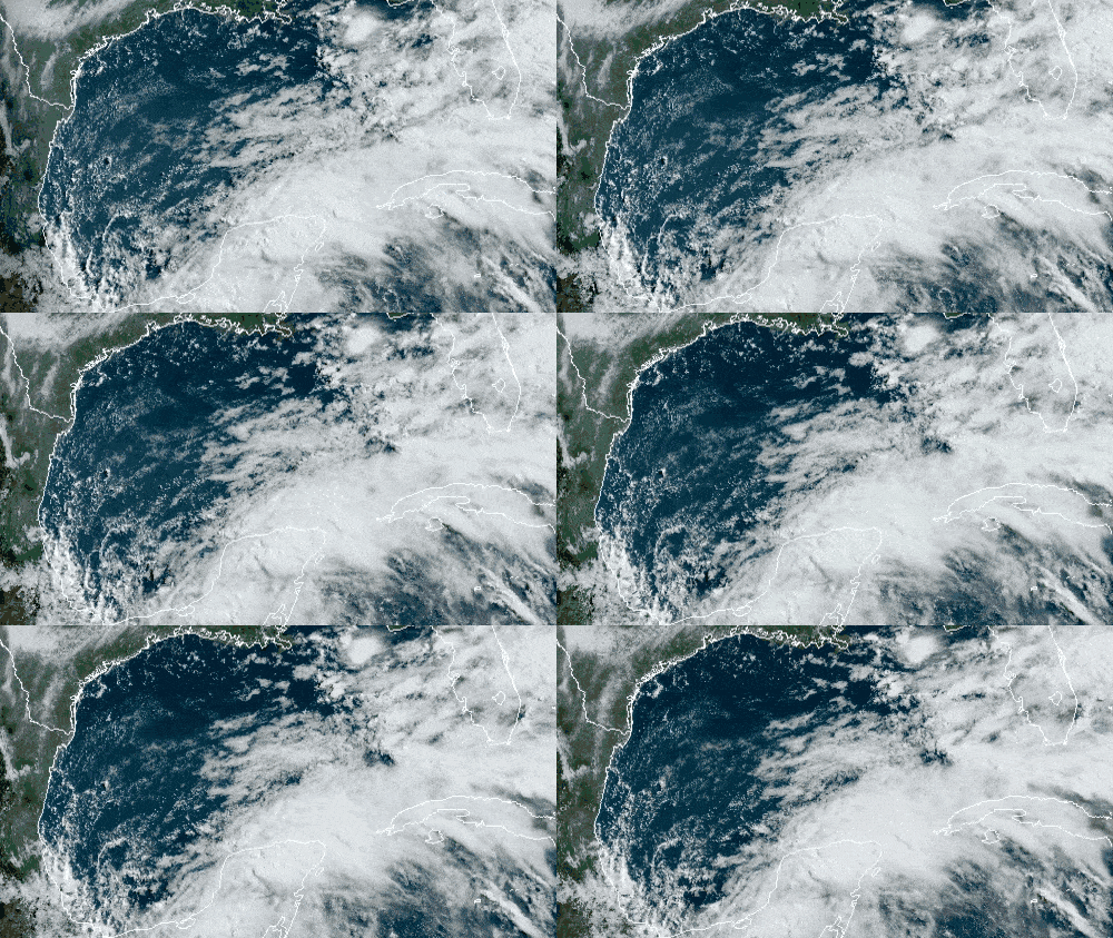
Tropical Storm Cristobal is drifting slowly across Mexico and will track toward the Gulf Coast of the United States this weekend, producing threats of flooding, high surf and strong winds.
Cristobal made landfall Wednesday morning just west of Ciudad del Carmen, packing sustained winds of 60 mph. As of 8 a.m. EDT today, Cristobal was moving southeastward at a sluggish rate of less than 5 mph over eastern Mexico’s state of Campeche.
A tropical storm warning remains in effect along the Mexican coast from Campeche westward to Coatzacoalcos (133 miles southeast of Veracruz).
Cristobal formed on June 2, earlier than any other Atlantic third-named storm on record. The record was previously held by Tropical Storm Colin, which formed on June 5, 2016. Last year, the “C” storm, Chantal, didn’t develop until August 20.
Cristobal will linger inland or near the Bay of Campeche coast through Friday morning, June 5, lacking any significant steering winds aloft. It may weaken to a tropical depression before it emerges back into the Bay of Campeche or Gulf of Mexico later Friday, but not before flooding parts of Mexico and Central America.
This weekend, however, upper-atmospheric winds will steer Cristobal northward into warm Gulf of Mexico water. This will likely re-energize the system back to tropical storm status, with sea surface temperatures (SSTs) of 80 to 85 degrees. These SSTs will probably not be warm enough for Cristobal to become a hurricane (sustained winds of at least 74 mph), but there’s a remote chance of this happening.
The latest forecast models have Cristobal making landfall as a tropical storm in Louisiana Sunday night with sustained winds of 60 mph, lingering over the region Monday. However, it could hit anywhere from the upper Texas coast to the Mississippi coast.
Prior to landfall, Cristobal will begin impacting the Gulf Coast Saturday as winds, rainfall and surf increase.
The storm may encounter some wind shear over the Gulf. Shear is an increase in wind speed with altitude and/or change in wind direction with altitude. The sear will probably make Critsobal a bit lopsided, with most of the wind and rainfall to the east of the center.
Based on the latest outlooks, most of the flooding and wind damage threats would be from New Orleans to western Florida.
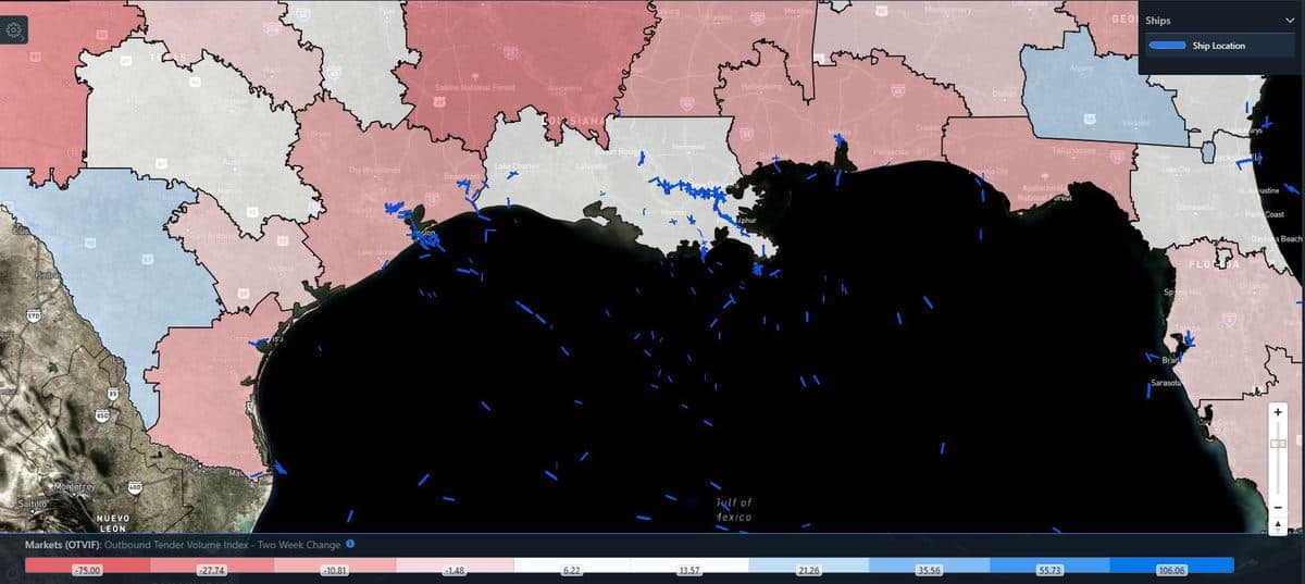
Cristobal may have minor impacts on freight movement. But looking at the latest FreightWaves data, the Outbound Volume Tender Index Two-Week Change (OTVIF) for most Gulf Coast markets has decreased. So, shippers have been offering fewer loads in these markets. However, Cristobal’s potential wind and flooding damage could delay regional and long-haul drivers on the Interstate 10 corridor this weekend and early next week.

Also, high surf and heavy rainfall could impact operations at offshore oil rigs, onshore oil facilities and Gulf Coast ports.
Cristobal’s intensity forecast is a bit complicated due to current land interaction in Mexico, potential wind shear and SSTs. The forecast will be tweaked in the coming days, so look for updates on the FreightWaves website and social media accounts.
Click here for more FreightWaves articles by Nick Austin.


