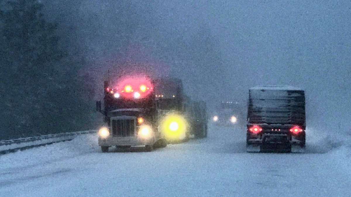
Now that the nor’easter has moved into the Atlantic, focus shifts to the other side of the country. Truckers will run into periods of heavy snowfall across the region through next Monday or Tuesday.
Several Pacific storm systems will move onshore into the Pacific Northwest over the next several days, producing heavy snowfall and gusty winds in the higher elevations. While the snowfall will be significant enough to cause some disruptions to local and regional supply chains, snow levels will not be low enough to cause major impacts.
The first of several storms, which began Tuesday, is winding down. The next system will get cranking Friday afternoon, fading late Friday night. The next storm will begin by Saturday afternoon, diminishing late Sunday night or Monday.
When all is said and done, snowfall totals will range from 10 to 30 inches at higher elevations. However, more than 30 inches could pile up on the tallest peaks. Lookout and Snoqualmie passes on Interstate 90 are in the potential impact zone, as well as Stevens Pass on U.S. Highway 2. Blowing snow will lead to reduced visibility at times.
Meanwhile, down below, heavy rainfall could cause flooding in some lower elevations along the Interstate 5 and U.S. Highway 101 corridors in Washington,. Look for totals of 2 to 5 inches through early next week, including Seattle. The National Weather Service has issued a flood watch for these areas.
Other notable weekend weather
Watch out for periods of extremely high winds Friday afternoon through Sunday in Montana. From Browning and Heart Butte along the Rocky Mountain Front, to Helena and Great Falls on Interstate 15, in addition to Havre on U.S. Highway 2, gusts will reach 60 to 70 mph. The risk of rollovers will be elevated, especially for drivers who are deadheading (carrying empty trailers) or hauling light loads.


