




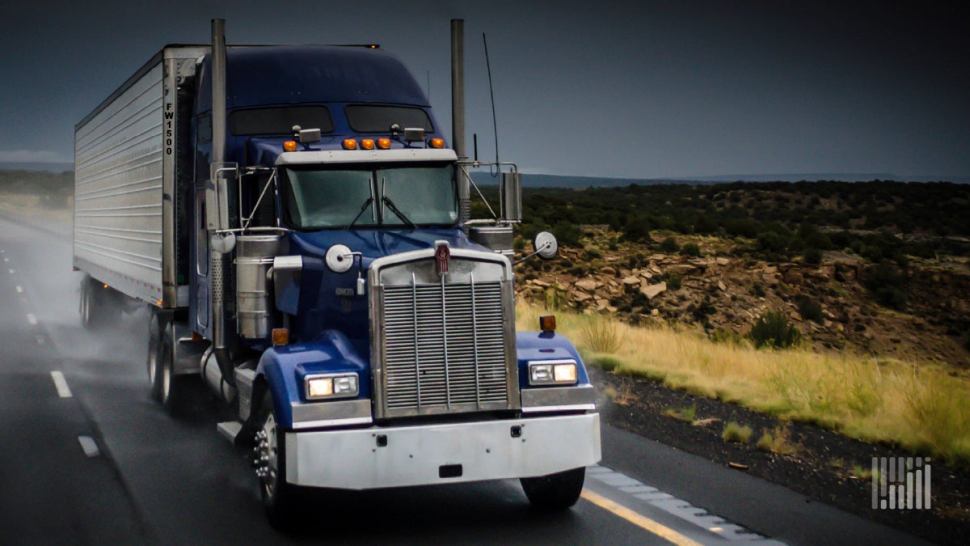
Truckers will face a wet weekend from the Mississippi Valley to the East Coast.
Parts of southeastern Missouri and southern Illinois have already seen up to 5 inches of rain and flash flooding Friday morning due to a slow-moving cold front stretching from the Plains all the way to eastern Canada. This was based on radar estimates.
This front will gradually move southward over the weekend, dousing areas of the Mississippi, Ohio and Tennessee valleys, as well as the Northeast, with heavy rain. On any given day, the system could dump 4 inches or more of rain, leading to many more areas of potential localized flash flooding.
So far, the National Weather Service has issued a flash flood watch for southwestern Missouri, northwestern Arkansas, northeastern Oklahoma and southeastern Kansas. This includes Springfield and Joplin, Missouri; Fayetteville and Fort Smith, Arkansas; Tulsa, Oklahoma; and Wichita, Kansas. This watch is set to expire at 1 p.m. CT Friday but may be extended.
Another flash flood watch is in place for the Cleveland and Columbus, Ohio, metropolitan areas. This watch runs through Saturday morning but could be extended.
The NWS may issue additional flash flood watches later Friday and through the weekend as the system makes its progression southward. This would impact places like Cincinnati; Louisville, Kentucky; Memphis and Nashville, Tennessee; Philadelphia; New York City; and Boston.
Next week, the best chances for heavy rain and flash flooding will be in the Deep South and Gulf Coast states, including eastern Texas; Jackson, Mississippi; New Orleans; Mobile, Alabama; and the Florida Panhandle.
Two silver linings — flooding won’t likely be widespread across any given region, and most thunderstorms that pop up won’t be severe as far as winds, large hail or tornado threats.
Other notable weekend weather
Drivers will hit a heat wave in Big Sky Country from Saturday afternoon through the middle of next week. Highs will be climbing into the upper 90s and triple digits in eastern Montana, including the Great Falls, Glasgow and Billings areas, as well as areas in between. In some places, even overnight lows will remain very warm, in the 70s. The NWS has posted an excessive heat watch for the region.
Click here for more FreightWaves articles by Nick Austin.
You might also like:
Most dangerous highway stretches for US truckers
‘Painful mess’: I-40 bridge closure costing trucking industry $1M daily
Brokerage Compliance Symposium
The day before F3. Every compliance issue you face - fraud exposure, carrier liability, FMCSA rules, cargo theft, insurance gaps - navigated by attorneys and operators defining best practices in a changing industry.
F3 Awards Dinner
The night before F3. FreightTech100 companies honored. FreightTech 25 and Shipper of Choice winners revealed live. Cocktail reception into dinner and live music - 300 industry leaders in one purpose-built room.
F3: Future of Freight Festival
Industry-defining keynotes, rapid-fire technology demos, and industry leaders networking in experiences across Chattanooga - plus the inaugural F3 Awards Dinner featuring the FreightTech and Shipper of Choice reveals.
The day before F3. Every compliance issue you face - fraud exposure, carrier liability, FMCSA rules, cargo theft, insurance gaps - navigated by attorneys and operators defining best practices in a changing industry.
The Signal at Chattanooga Choo Choo • Chattanooga, TN Register NowThe night before F3. FreightTech100 companies honored. FreightTech 25 and Shipper of Choice winners revealed live. Cocktail reception into dinner and live music - 300 industry leaders in one purpose-built room.
The Signal at Chattanooga Choo Choo • Chattanooga, TN Register NowIndustry-defining keynotes, rapid-fire technology demos, and industry leaders networking in experiences across Chattanooga - plus the inaugural F3 Awards Dinner featuring the FreightTech and Shipper of Choice reveals.
The Signal at Chattanooga Choo Choo • Chattanooga, TN Register Now