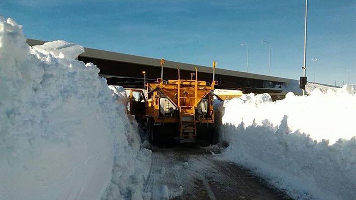
A high-impact winter storm is slamming portions of the Great Plains and Midwest and won’t stop until late Saturday. Snow, sleet, freezing rain and blizzard conditions will likely cause freight movement delays and short-term rate volatility across the region for the next several days.
FreightWaves first reported on this potentially disruptive storm a few days ago. For the most part, it’s coming together as expected.
The storm has been spreading across more than half a dozen states as of this morning, and the count will increase as hazardous conditions move northward into the upper Midwest, Great Lakes and adjacent areas in southern Canada over the next 24 to 36 hours. Then it will track into the mid-Atlantic and New England states late tomorrow and Sunday. The National Weather Service (NWS) has issued a blizzard warning along the I-29 corridor from Sioux City, Iowa, to the Canadian border, as well as on I-90 from Sioux Falls, South Dakota, to just east of Pierre, South Dakota, and on I-94 from Fargo, North Dakota, to just east of Bismarck, North Dakota.
A swath of freezing rain will set up from Tulsa and Kansas City to St. Louis, northern Indiana and Ohio, western Pennsylvania and parts of the central Appalachians. One-quarter to one-third of an inch of ice buildup is possible in some areas.
Snow accumulations of 4 to 8 inches will be common, with localized amounts of 10 to 12 inches.
Winds will gust as high as 40 to 50 mph at times. This will create blizzard/whiteout conditions that will not only slow down or stop trucks, trains and planes carrying freight, but the wind and ice could knock down tree limbs and utility lines, resulting in roadblocks and power outages.
Interstates within the risk zone include, but are not limited to, I-35, I-44, I-55, I-65, I-70, I-75, I-81, I-87 and I-90. The largest cities that will see the biggest impacts are Topeka, Kansas; St. Louis and Kansas City, Missouri; Omaha, Nebraska; Des Moines, Iowa; Minneapolis; Milwaukee; Detroit; Cleveland; Buffalo, New York; and Toronto and Ottawa, Canada.
Carriers and shippers should keep in mind that the impacts from this storm will last beyond the weekend. Temperatures are forecast to remain below freezing 24/7 across the Great Lakes for at least the first two days of next week. This means any truckers who get stuck may not be able to get out until temperatures rise high enough to thaw the roads. But if main roads are cleared quickly enough, brokers may benefit.
Capacity often tightens after major weather events because of delayed trucks and missed deliveries. This pushes up spot rates in the affected areas. The latest FreightWaves SONAR data show increasing outbound tender market share (OTMSW) over the past week in several Midwest markets, relative to the rest of the country. So brokers should look for opportunities to pick up freight early next week in these markets hit by this weekend’s winter storm.
Have a great day and a wonderful weekend, and be careful out there!


Slip seat
They just leave people to die in their car after a wreak. They have no ambulance services because the democrats take the tax money and gives it to themselves for a vacation